

After a brutal last few days with a ton of heat alerts we are finally done with them! There are no longer heat alerts out for our area! That doesn't mean it won't be hot & muggy, but we won't be dealing with the "dangerous" heat that we saw this last week.
Instead, now that we have broke down that heat dome that plagued us all last week, we're settling into more of a rinse & repeat pattern for our area that we often see during the summer.
Many days this week, including today and Monday have afternoon scattered storm chances.
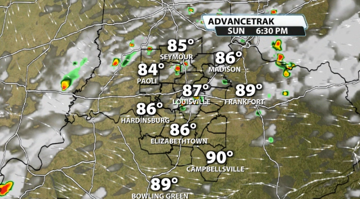
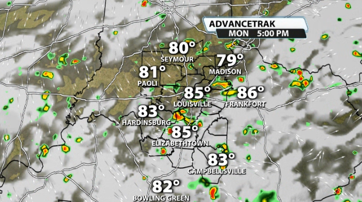
You can see that there isn't a ton of storms, hence why we call them "hit or miss", but every single day coming up has an afternoon storm chance. These will often happen right around and after peak heating of the day. Once we hit peak heating we have max storm energy available and with summer moisture in the air, it's a good set up for afternoon storms.
A lot of these storms this week are what we call "pulse" storms. These are very common during the summer because during this season we lack wind energy since we move the jet stream further north as we heat up. This means that these storms have access to the instability, but not much wind energy, which doesn't really allow them to move much.
You'll notice that any storms that do pop-up this week don't move a whole lot and can stay over one location for a longer period of time. This can cause localized flooding with the heavy rain and gusty winds as the storms collapse.
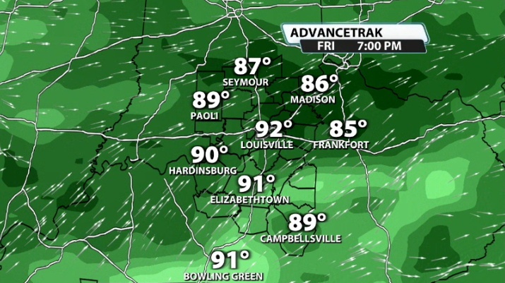
We'll look for more of a widespread storm chance potentially for our area by the time we get to Thursday - Saturday of this upcoming week!


