
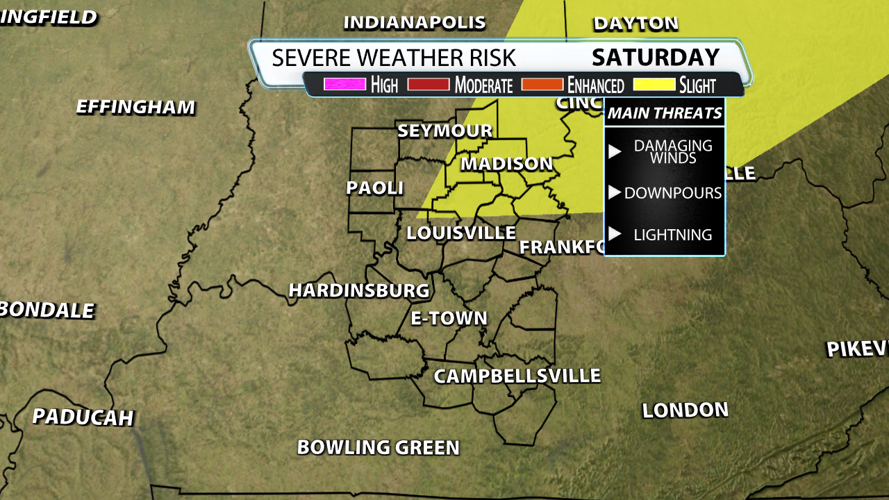


Showers and storms will return on Saturday, and they will bring a low-end threat of severe weather. Let's dig into the timing of the storms and discuss the threats you might see.

First, the Storm Prediction Center has brought the Slight Risk (level 2/5) down to our northeastern counties. While there doesn't appear to be a tornado threat at this time, there could be some small to medium sized hail along with some damaging wind gusts.

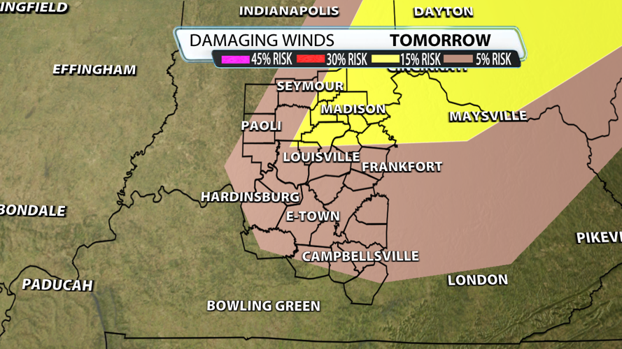
The reason that the SPC brought the Slight Risk to part of our region is the increased risk for a few damaging wind gusts. The chance for winds to go above 58 mph exists, but most gusts will stay below that threshold.

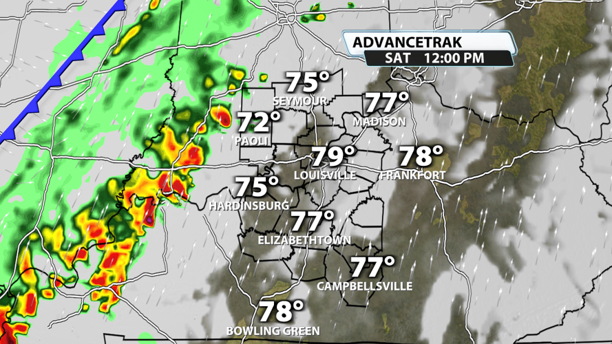
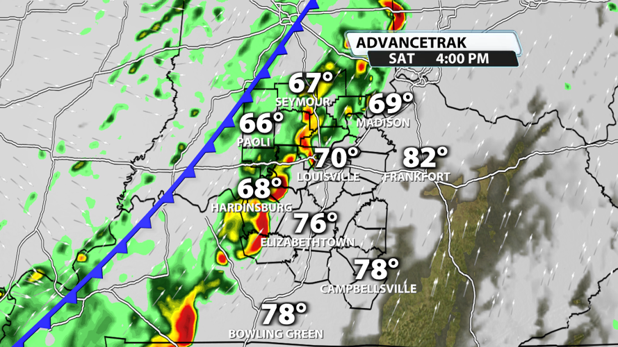
It is highly likely that our region is almost 100% dry during the morning hours. The farther east of south you are, the longer it will take for the storms to reach you. Storms will likely be approaching Lawrence, Orange, Crawford counties in Indiana around noon.

Storms are expected to reach the I-65 corridor at some point in the afternoon. Places north of Louisville will see them earlier than places south of Louisville. Before the rain rolls in, many places will top out in the upper 70s to low 80s.

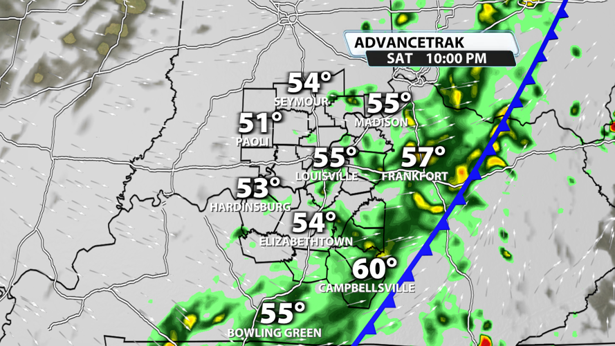
Storms continue through the evening, but the severe weather threat will quickly decrease after sunset. Once the cold front passes by around 9 or 10 PM, our severe weather threat should be down to zero. Showers will linger past midnight, but they should clear the area and set us up for a beautiful but much cooler Easter Sunday. Happy Easter, everyone!!


