

We've had entirely too much rain recently, but guess what!? We're going to get even more. Showers and storms will be present across much of the region for much of the weekend.

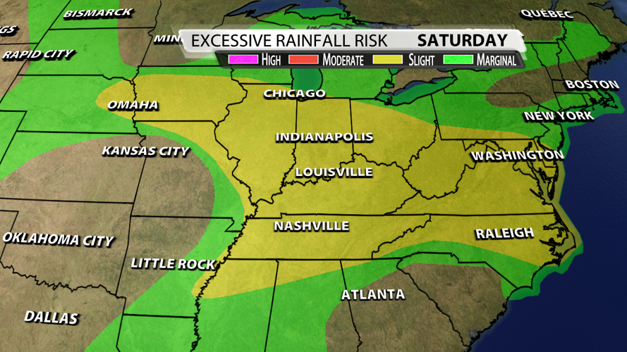
July started off quite dry, but the 3" of rain we've seen at the Louisville International Airport just in the last 48 hours has eliminated any deficit we were in this month. Some places have picked up more than 4" of rain over the last couple of days, so the ground is primed for flooding potential. That's why the WPC has put out a Slight Risk for flooding issues across Kentuckiana for today. There is a ton of moisture in the atmosphere with precipitable water (PWAT) values of 2"-2.2", so any storms that do develop today, tomorrow, or Monday will have the ability produce flooding rain.

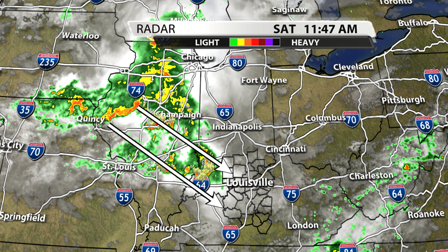
We're watching a group of storms currently over SE Iowa as it steadily moves our way. Showers and storms ahead of this main complex will help stabilize the atmosphere quite a bit, so the should decrease our severe weather potentially significantly.

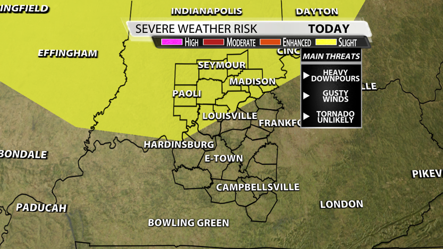
Earlier this morning, the Storm Prediction Center did put out a Slight Risk of severe weather for part of our area, but we're expecting the risk to be even lower considering the storms out ahead of the main bowing segment are eating a lot of the energy that the other complex needs to support any severe weather potential. We won't rule out severe weather, but it's very unlikely that we met the criteria for severe winds, much less actually spin up a tornado. Trust that we will be watch no matter what!

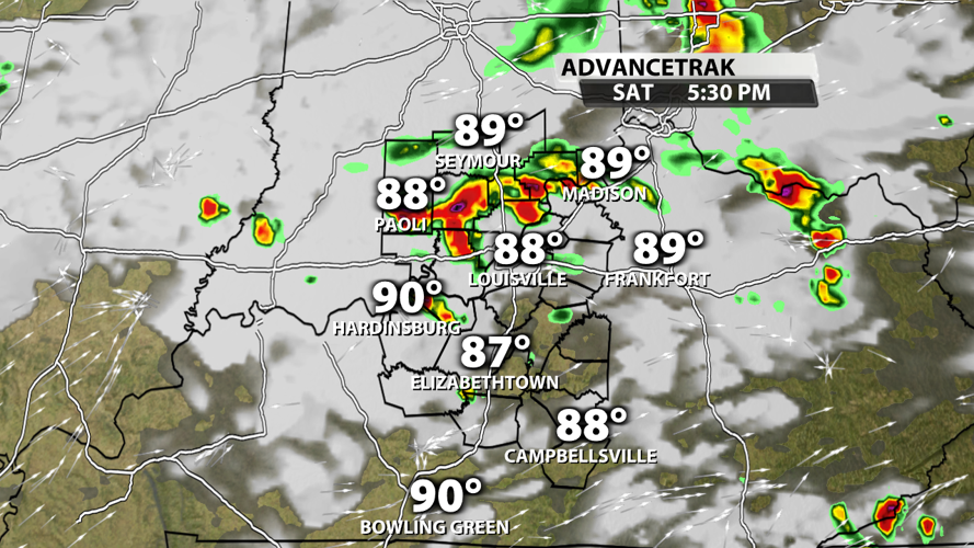
We have some storms in southern Indiana early this afternoon, but the best coverage of showers and storms will be from 4PM - 9PM. The decaying line of storms should reach Louisville during the dinnertime hours, so maybe around 6PM.

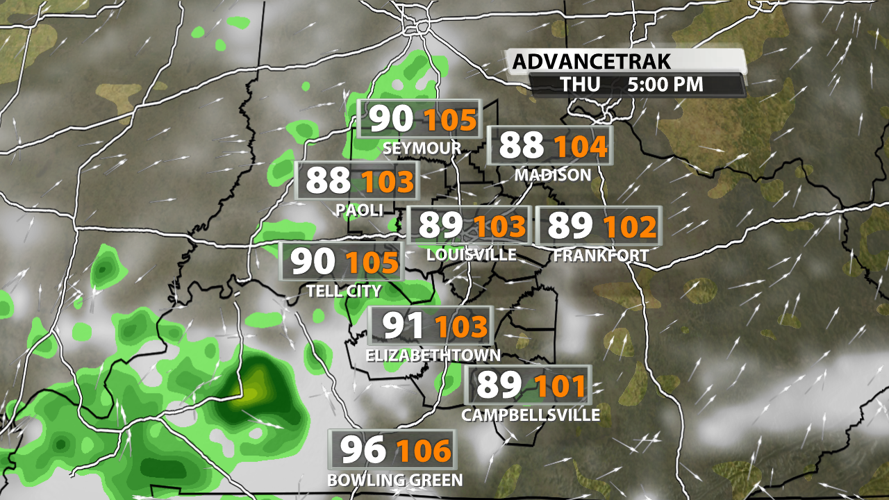
Once most of the rain clears in the second half of next week, temperatures will likely peak in the mid-90s with dew points in the middle to upper 70s at times This means our "feels-like" temperatures will very likely skyrocket to Heat Advisory criteria around 105°!


