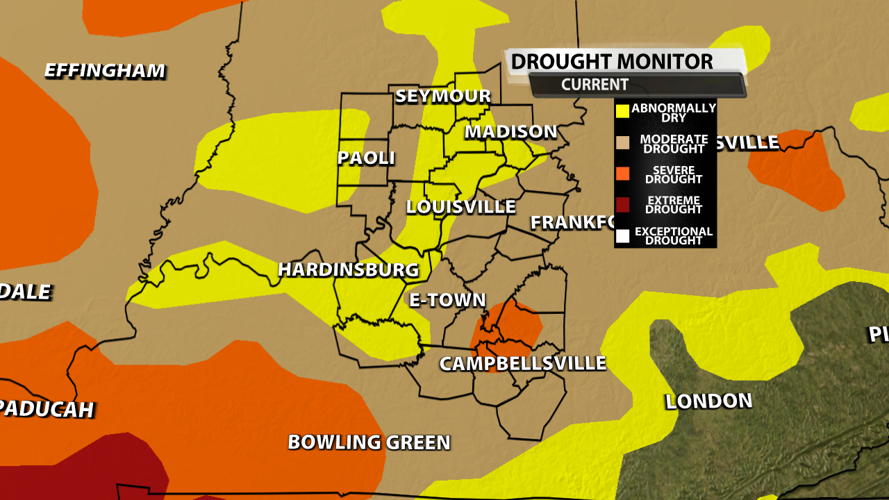


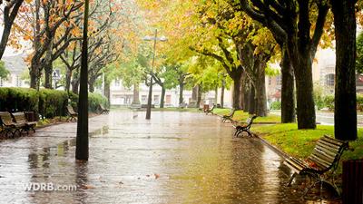
It has been raining off and on since last Saturday, and we needed every drop! Drought conditions were increasing across the region with some places entering severe drought south of the Parkways in KY.

We've had an area-wide 1-3 inches of rain with some spots picking up 4+ inches since Saturday! Since midnight, rainfall amounts have really stacked up across parts of Kentuckiana. Some places record almost 2" of rain just last night and early this morning.

At the Louisville International Airport, we had only picked up 0.8" of rain through the first 20 days of September. Since then, we have picked up 3.47". Not only are we now above our average for this point in the month, but we're above our average for the month as a whole!

All of this beneficial rain has helped get rid of many burn bans that have been in place for the last couple of weeks. Considering the heavy rain we had last night, any leftover burn bans in our area will likely be canceled within the next 24 hours.

Besides a few isolated showers this evening, we should be done with the rain until early next week!


