


LOUISVILLE, Ky. (WDRB) — The National Weather Service confirmed a second tornado in southern Indiana after strong storms swept across the Louisville area overnight Wednesday into Thursday morning.
The NWS said Friday that a second EF1 tornado touched down in Jackson County. The county was one of the hardest-hit areas with trees down and damage to multiple homes.
The National Weather Service also extended the track of the confirmed EF1 tornado that hit Jefferson and Scott counties.
According to the NWS, that tornado traveled through Scott and Jefferson counties into Trimble County, Kentucky with peak winds of 110 MPH.
"The tornado that formed right here in Scott County went over into Jefferson County, Indiana and then it crossed the river into Trimble County, Kentucky," said Mike Kochasic, a meteorologist with the National Weather Service in Louisville.
Kochasic was surveying damage again Friday, investigating, "where (the tornado) started, the end point, how wide the tornado was and the strength of it."
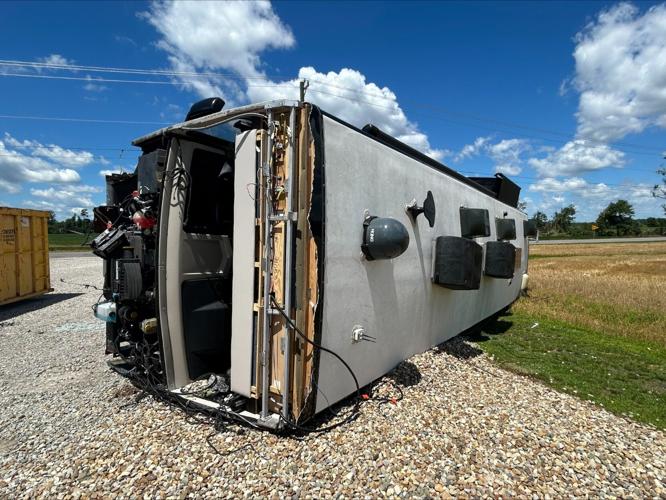
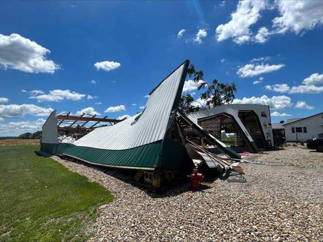
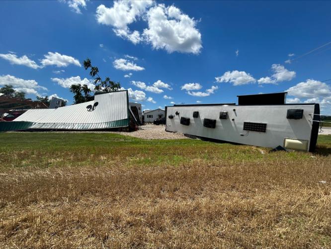
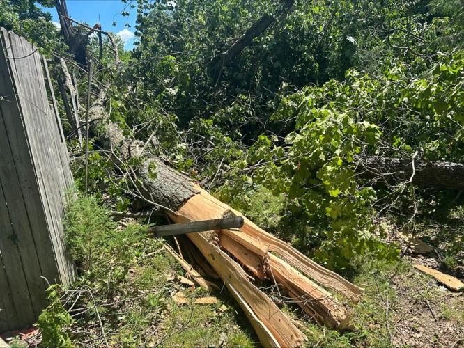
Some of the worst damage from the winds can still be seen on Blanton Road in Scottsburg, near the Jefferson County line. That's just north of SR-256.
"It was so dark," Dorothy Poznanski said. "You couldn't see anything. It came so quickly that you had no time to do anything."
Poznanski lives with her daughter and son-in-law in one of the homes on Blanton Road. She described the wind and lightning as "out of control."
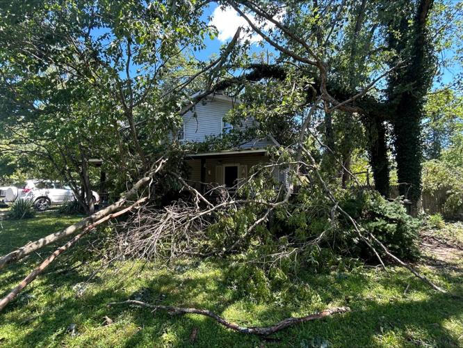
Several trees were split into or ripped from the root on their property, one of which fell on top of the home. A small building was also pulled from the foundation.
Joyce Bowling also lives on Blanton Road and said her house was just out of the path of the storm, but her sister's home nearby was not as lucky. Multiple trees were knocked onto the roof, but no one was hurt.
"She called me a little after 3 A.M. and said a tree fell on the roof," Bowling said. "I thought, 'Oh, God.'"
But Bowling said she was "worried more about my daughter who lives over around Deputy."
That's because, according to the NWS, the twister picked up speed and intensity as it crossed into Jefferson County. Several homes and properties in Deputy, Indiana suffered extensive damage, before the path continued to Madison, Indiana.
NWS officials hinted toward a potential upgrade of the twister.
"It's a high-end EF-1, maybe low-end EF-2," Kochasic said.
The NWS says as of Friday, it plans to continue surveying the area.
Stay weather aware with WDRB. Download the WDRB News, WDRB+ and WDRB Weather apps to your smartphone or devices for alerts and immediate information. Click here for links to the app stores.
Copyright 2026 WDRB Media. All Rights Reserved.


