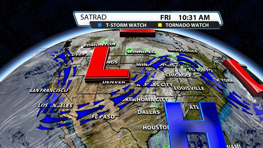


We've been under a ridge of high pressure for some time now, but it's getting ready to break down. The trough over the western half of the US will take it's place and bring with it plenty of rain, very windy conditions, and the chance for severe weather.

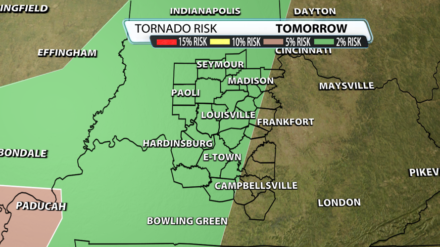
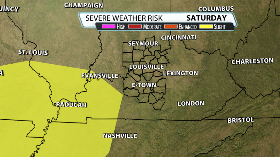
That severe weather risk is low for our region. The slight risk (level 2/5) is just to our west, while a marginal risk (level 1/5 and not shown on the map) covers our whole area.

The most likely scenario is strong storms with gusty winds of 40 - 50 mph, but some damaging wind gusts greater than 58 mph and even a brief, weak tornado can't be ruled out. Severe criteria hail of 1 inch or greater is not expected at this time, but we won't rule out some smaller hail falling.

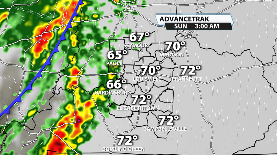
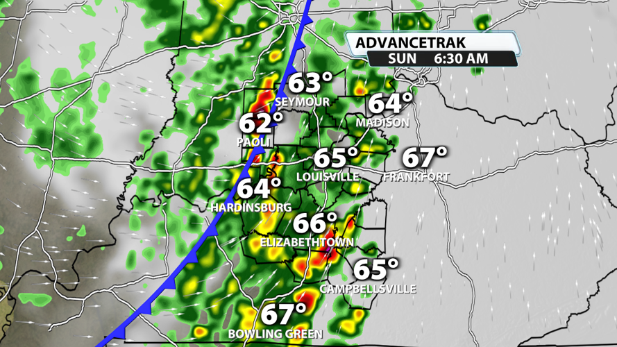
Storms should enter the region just after midnight Saturday into Sunday. There won't be much CAPE to work with during this event, but the low-level jet will be moving fast. This is what we call a "high shear, low cape" event, and it is typically what brings us severe weather potentially during the fall season.

Storms really ramp up during the pre-dawn hours. This is the most likely timeframe for severe weather potential including some damaging wind gusts and possibly a brief, weak tornado embedded in the line of storms.

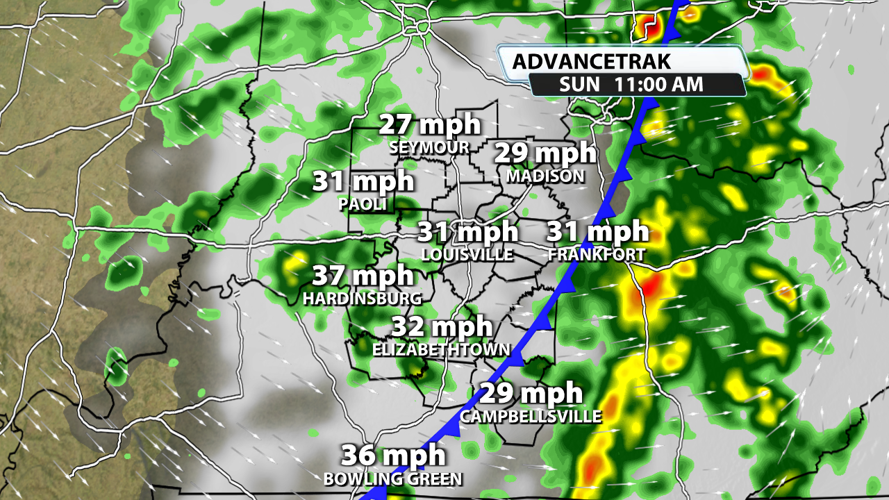
The severe weather threat should come to an end well before noon. At this point, non-thunderstorm winds will really start picking up. We'll have gusts at or above 40 mph at times, so this is the most likely timeframe for a wind advisory if one is issued for our area.

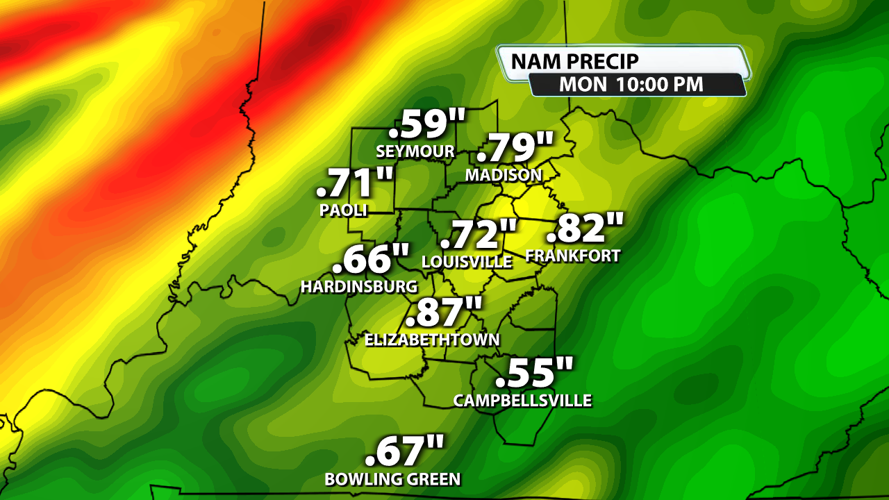
Widespread .5" - .75" of rain is likely across Kentuckiana. Some spots could pick up over an inch of rain. There is even a low chance for heavy rain to train over the same area for a few hours and end up producing a flooding threat through Sunday mid-morning.


