
As a weak disturbance pushes through our area tonight, a few of you may see some light rain or mixed showers by Tuesday morning.

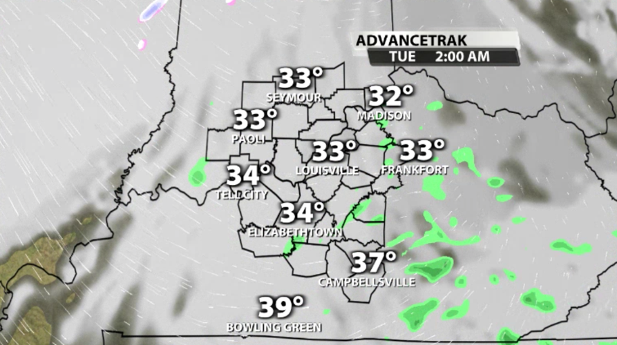
Light rain showers will move into Kentucky after midnight. It should start as rain with temperatures in the middle and upper 30s through most of Kentucky at that point.

As temperatures drop closer to dawn, some of the rain will change over to a wintery mix with wet snowflakes in Indiana. North of the river temperatures should drop down closer to freezing, which is why you have the best chance to see any winter weather.
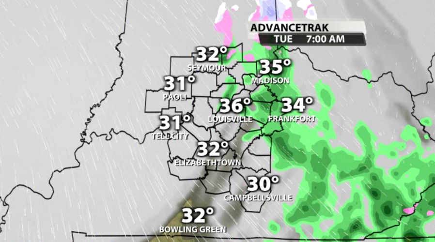
If the temperature is below freezing where you are in the morning and you've seen rain or snow, watch for icy spots on the road. Since we won't see widespread rain, we shouldn't see widespread impacts. But stay alert for any slick patches you might come across early in the morning. As temperatures climb through the day, any ice that does develop will melt.

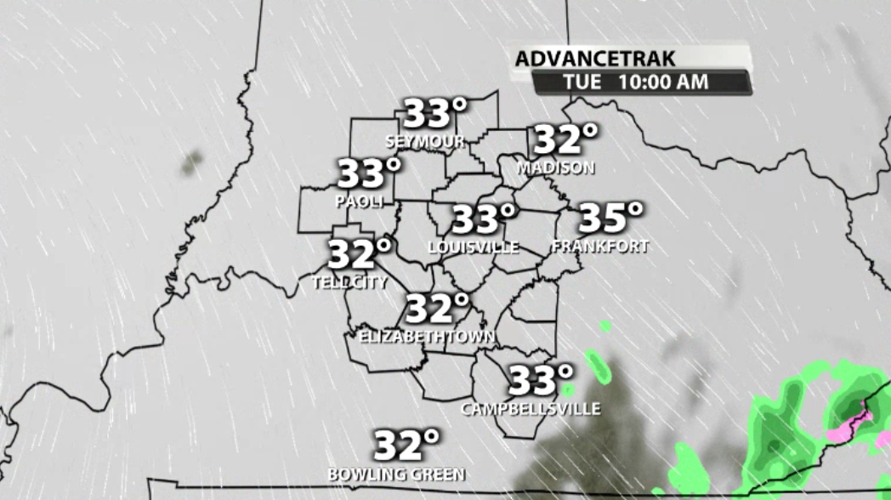
That small disturbance moves out of our area Tuesday morning and the moisture will follow soon. By late morning the rain should have moved far enough east to be out of our WDRB communities. Join Marc Weinberg and Rick DeLuca tonight on WDRB News to see the latest data on if and when your rain could change to snow. Then join Jude Redfield and Mike Marshall in the morning starting at 5 AM to see where, if any, icy spots are developing.


