

After another beautiful day with sunshine, things are about to change. We start our active weather pattern with a slam-dunk chance of showers and storms. In addition to that, a low-end severe risk has been added to that storm chance for Tuesday.
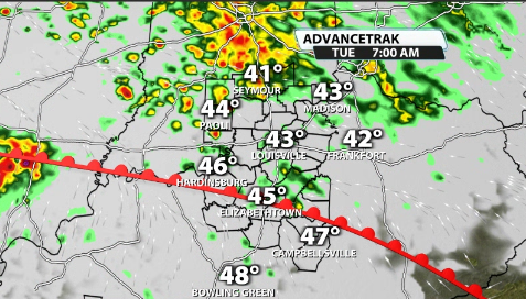
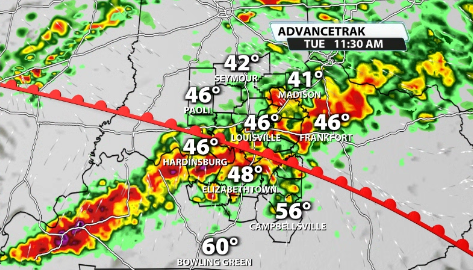
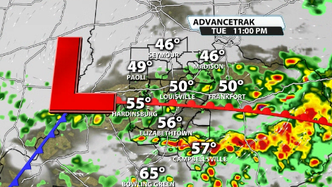
A warm front will slowly lift into our area Tuesday through the day, ushering in waves of heavy rain and storms through the day. We will see waves of it through sunrise and heavy rain waves through around midday to start.
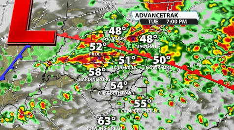
From there, it depends where the warm front is located at. If it is far enough north, we could get just enough warmth and moisture into some of our communities that could allow for a few strong storms to develop.
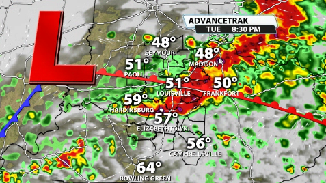
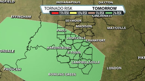
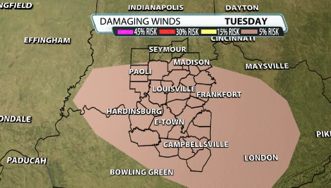
Not all data shows this, but it is a non-zero threat. The SPC has added a low-end severe risk to our area to cover this non-zero threat. IF we were to see any strong storms, the main impacts would be hail and damaging winds. The tornado threat is very low, but is non-zero.
We will have sufficient wind energy through the day that starts to slack off some as the strong storm potential comes up a tad. This will be with limited surface storm instability as well due to the questions on how warm we will be able to get during the day. A lot of it will come down to where that warm front ends up. If it doesn't reach Louisville, we will likely just see cool downpours and a few storms.
A lot of these downpours will be heavy at times so be sure to get the leaves out of your gutters before the rain starts to fall.


