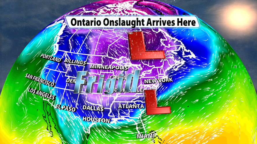

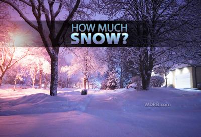
We still have plenty of snow on the ground across Kentuckiana with loads of cold air, but we've got to reintroduce a little more of both over the next few days.

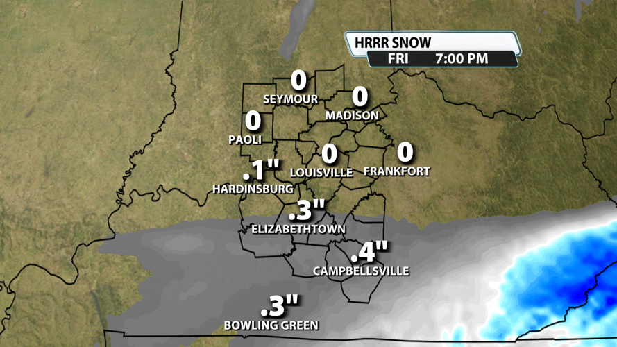
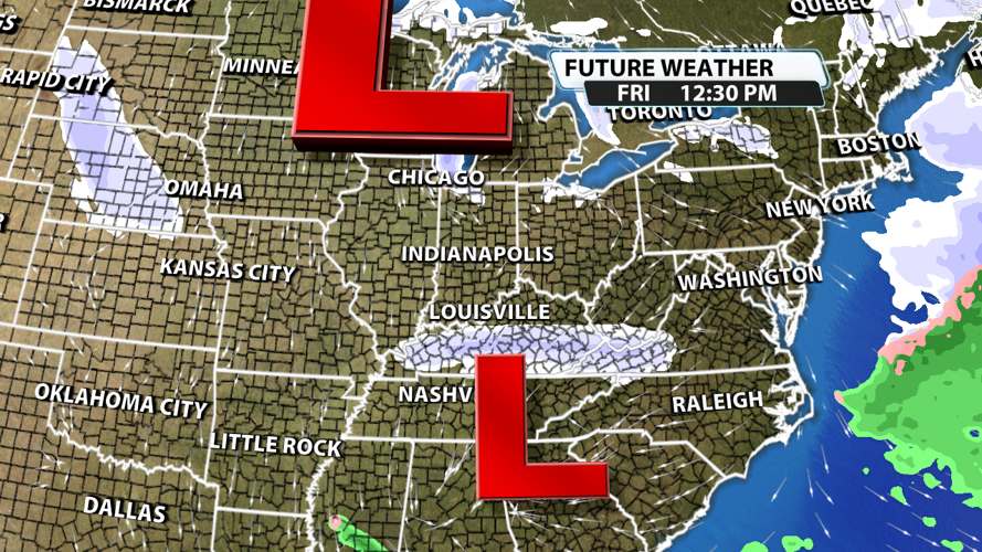
An area of low pressure moves in from the west tonight and skirts south of our region on Friday. This will introduce a chance for snow for many of our Kentucky counties.

A quick 1/10" to 1/2" of snow is possible for places mainly south of I-64. With the ground plenty cold enough to sustain snow accumulations, this could cause some slick spots on roadways throughout the day Friday.

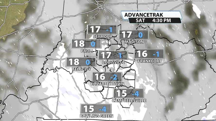
Another burst of snow is possible as a round of energy pushes across the region from the north of Saturday. This increased lift and moisture will likely spark off some snow showers for many across Kentuckiana. There is some uncertainty about coverage, but amounts will be even lower than what falls on Friday with a quick dusting being the most likely scenario.

The Saturday snow chance also ushers in more Arctic air. Temperatures will tank to the single digits this weekend with "feels-like" temperatures back down below 0 degrees at times. The next chance for most of our area to experience above-freezing temperatures will be February 3rd or 4th, but overnight lows will likely stay below freezing.


