
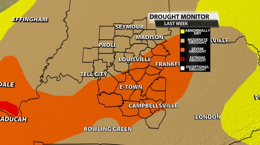
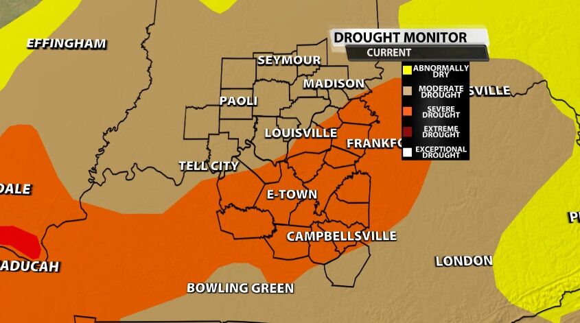
The U.S. Drought Monitor update is published Thursday morning each week, and this will be another week of no update for our area. The first map below is last week's Drought Monitor; the second map is the update for this week with no changes for our communities.
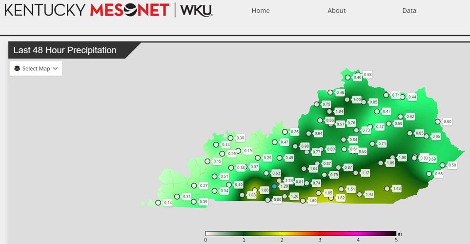
But we saw rain! I know. The problem lies with data collection. The map below shows how much rain fell between Tuesday morning and Thursday morning across the Commonwealth. In order to have the Drought Monitor ready to publish Thursday morning, they have to stop looking at new data Tuesday morning. So all the rain from the storms in our area Tuesday night was not factored into this week's update.

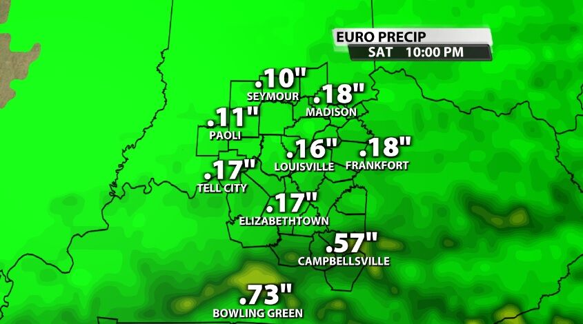
It will be taken into account in next week's update, as will roughly one and a half of our next two rain chances. The rain totals below are model projections for how much rain we will measure from the rain moving in with a cold front Friday and Saturday. All of that will definitely get counted in next week's Drought Monitor, though it doesn't look like enough to really help.
We will see more rain with another cold front moving in Monday and Tuesday next week. Here's the rub: the majority of the rain from this system should come Tuesday, so it won't be counted until the following week. That's a bummer because that looks like the best chance for heavier rain that could actually impact the drought conditions.
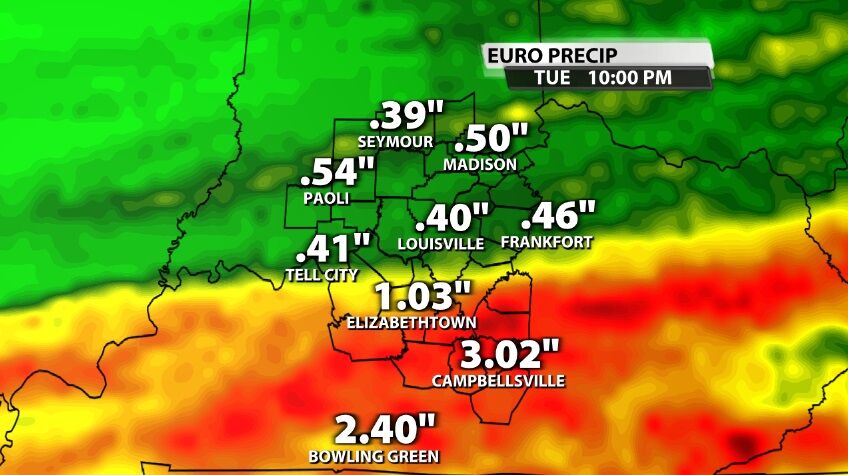
Forecast models still vary wildly on the placement on the heaviest rain, so don't get too attached to which counties are picking up 1"+ in the image above and which aren't. That will likely change in the coming days as that system forms and we get a better idea of where it's headed. We will keep the forecast updated for you on TV, online, and in our WDRB apps.


