
As a weak front approaches tonight, it will produce the chance for some scattered storms in our area. Not everyone will see storms from this line, so let's look at why that happens and where storms are most likely.

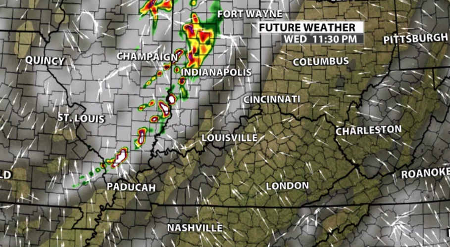
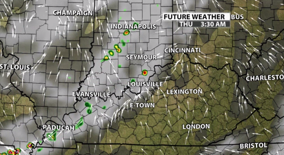
You can see that line develop west of here near the cold front, but as it approaches us it breaks apart a bit. Notice the timing in the top right corner of the image. This line of storms is moving through overnight and there just doesn't seem to be enough power to keep the line together.

The risk of organized severe weather from this batch of storms is low. The stronger storms are likely in our far western counties closer to midnight. Overnight (between midnight and dawn) scattered storms will continue to move east toward I-65. Brief heavy rain and strong wind gusts are the main threats from these storms. Small hail is also possible.

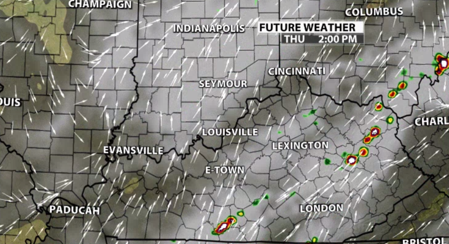
By Thursday afternoon, as heat and humidity build and storm energy climbs, another batch of strong storms will develop along that same line. That's when our southern and eastern communities have the best chance of seeing storms. We should start to see those storms popping closer to lunch time on Thursday.


