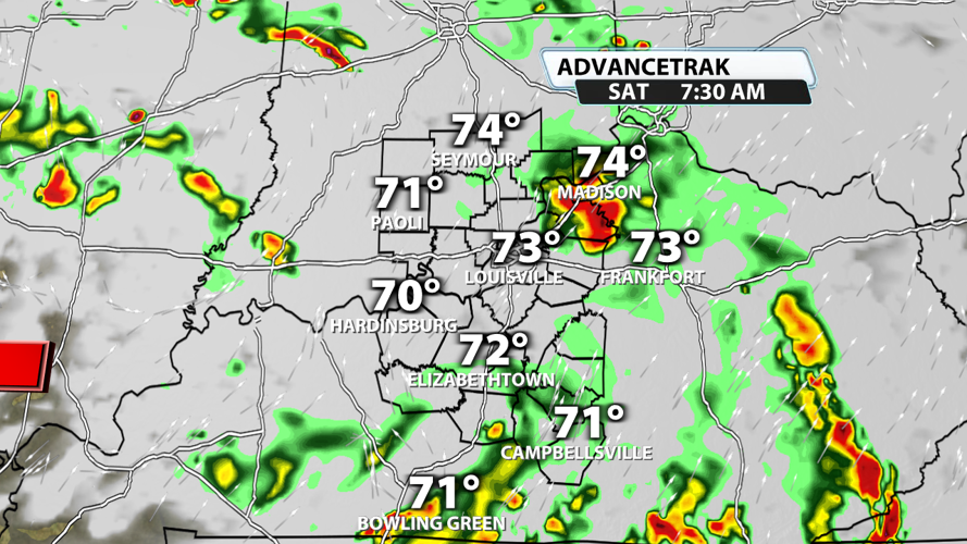
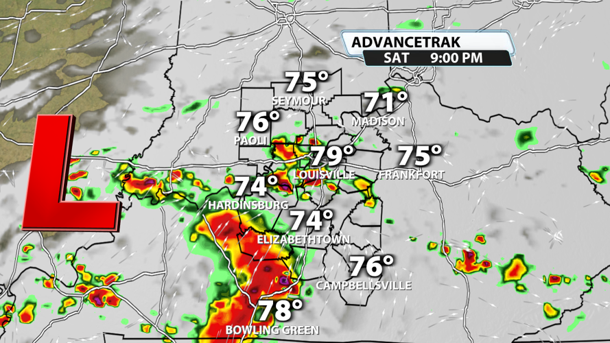



We've had our fair share of flooding rains, damaging winds, and even a handful of tornadoes already this summer. Turns out, we aren't done just yet. Saturday brings us another chances for widespread showers and storms with the potential for flooding and severe weather.

Showers and storms should return tonight and will likely stick around until Saturday with heavy rain and flooding potential. Storms could produce frequent lightning, but they should stay sub-severe.

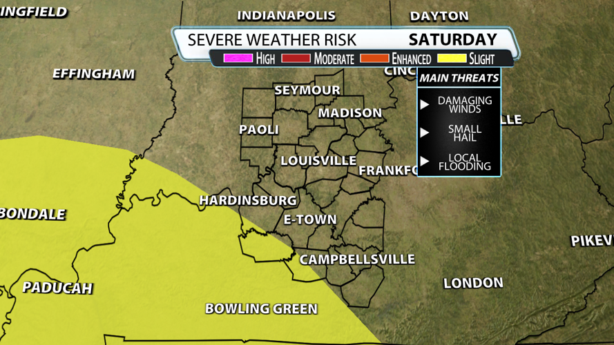
With some daytime heating leading to destabilization after the morning storms, we could have severe weather Saturday evening into the overnight hours. It's not a slam dunk of an event, but some damaging wind gusts and quarter-sized hail are possible. The tornado threat should stay a little farther west, but we'll watch the trends to determine if that threat could expand into our area. Heavy rain could lead to more flash flooding with this round of storms.

As of now, the Storm Prediction Center only has a small portion of our Kentucky counties included in the Slight Risk for severe weather. This could change over the next 24 hours.

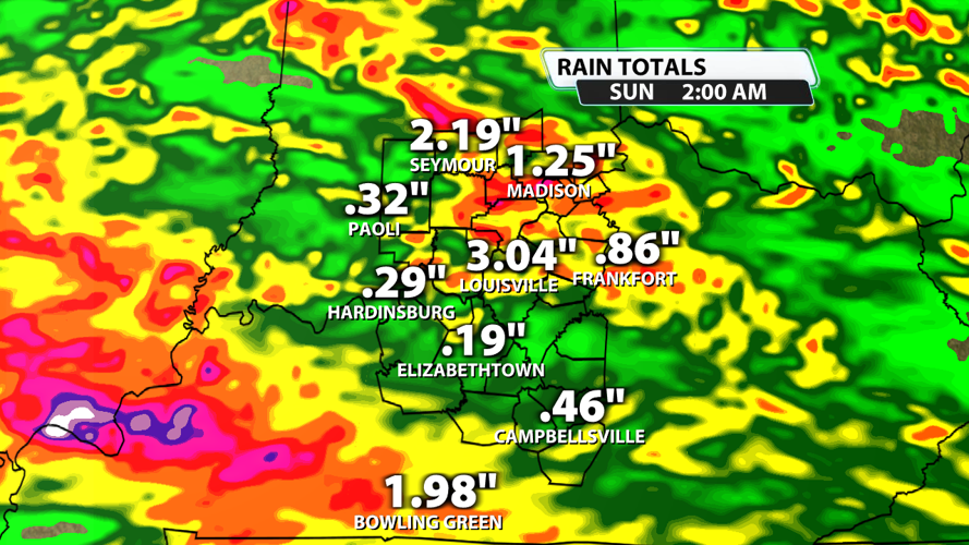
Showers and storms could easily drop multiple inches of rain through Saturday night. Any storm could produce a quick 0.5" - 1" of rain, but heavy rain that trains over the same area could lead to a very quick 2" - 3" of rain within roughly one hour. The Flood Watch continues until 2 AM on Sunday, July 12th.


