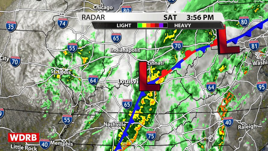


We've had rain somewhere across Kentuckiana just about every day this week, but we've had rain just about everywhere today. Nobody likes to hear that Derby day will be dreary and wet, but there is still a ton of fun to be had whether you're watching the races at the track or at home with friends and loved ones. Here's how the rest of the afternoon should pan out with the rain.

An area of low pressure east of I-65 has been dragging a cold front across the region today. Places along and east of the cold front could still get moderate to heavy rain at times. Folks to the west of the front will have a lot more dry time or mainly light rain. A few pop-up showers could produce some moderate rain anywhere across the area this afternoon/evening, but the best chance is east of the cold front previously mentioned.

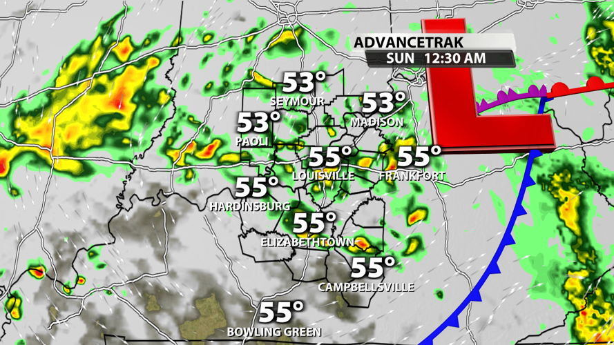
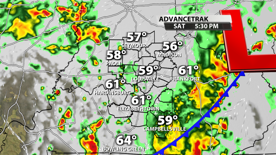
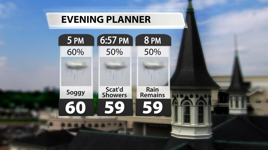
With persistent rain and cloud cover keeping temperatures stagnant, we'll stay in the upper 50s to low 60s across the area this evening.

AdvanceTrak continues to show the heaviest rain staying to the east of our area as a bit of a dry slot builds over the I-65 corridor. There's a solid chance that rain isn't falling at Churchill Downs during our evening races, but the track will still be sloppy.

The surface low doesn't move much tonight. In fact, the surface low and an upper level low will work together to create more scattered shower during the late evening and overnight hours.

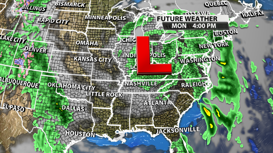
A cut-off low will sit over our region Sunday, Monday, and possibly Tuesday. This will bring additional chances for light to moderate showers as skies remain cloudy and afternoon highs stay below seasonal norms.


