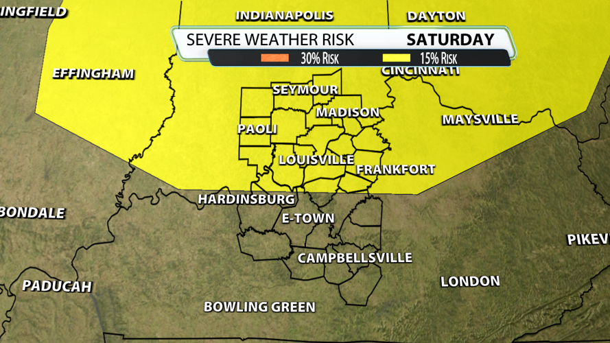

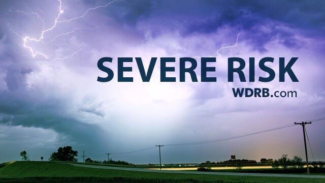
After getting canceled last year due to flooding, we need redemption for Thunder Over Louisville 2026! As of Tuesday, we are getting a better grip of the thunderstorm potential for Saturday and it looks like several hours could be disrupted. As a result, the Storm Prediction Center issued a 15% risk...

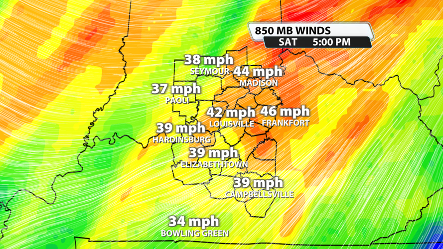
On a positive note, it won't be raining all day and we aren't expecting a severe weather outbreak. It just becomes a bit more concerning when you have over a half-million people outside. When it comes to wind energy, we are near the criteria of 40 mph. Nothing out of control, but just enough to support strong to a couple severe storms.

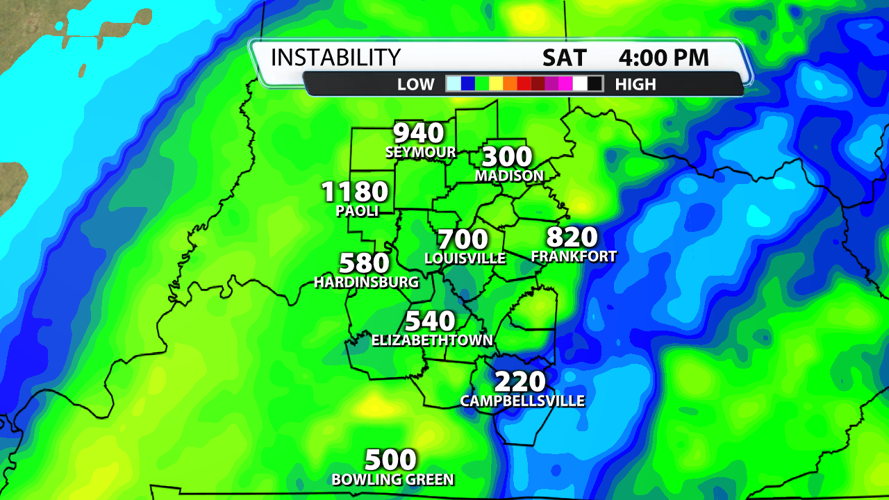
Instability or fuel values are close to 700 units. It's certainly on the weaker side taking any large hail off the table. Winds are unidirectional meaning they don't change direction with height. If we get a warning it would most likely be for damaging winds, and let's hope that we don't get one over Louisville!

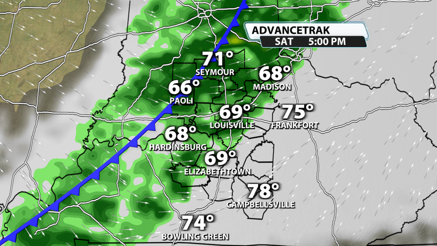
The time to watch is mid-afternoon into early evening as storms transition over to showers. Future radar brings that line of strong to severe storms close to us around 4 pm. That could speed up or slow down at this range. Hopefully it gets out of here in time for the fireworks at 9:30. I would plan for some lingering showers at that point and cooling temperatures. Check back in with us for more specifics as we get closer to the epic event.