
Storms move in this afternoon and will likely affect racing at Churchill Downs. While there is still rain in the forecast for Saturday, it's very different than what we see Friday.
SETUP
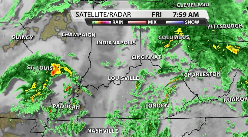
Early Friday morning we saw a round of heavy rain move through metro Louisville, but it cleared out before daybreak. While there have been a few light showers around our communities, there have also been breaks in the clouds allowing some sunshine to break through. That sunshine will help destabilize our atmosphere through the afternoon.
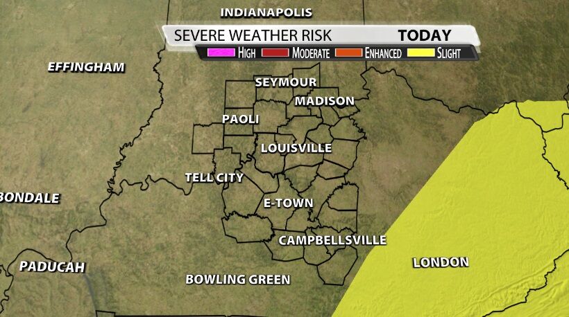
At this point none of our communities are included in a risk of organized severe weather from the Storm Prediction Center, but some of the storms we see could become strong.
TIMING

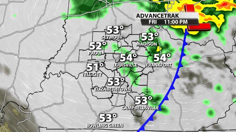
The best chance for those stronger storms around Louisville that would affect racing will be in the afternoon. Heavy rain, strong wind gusts, thunder and lightning, and even potentially some hail will all be possible from those storms.
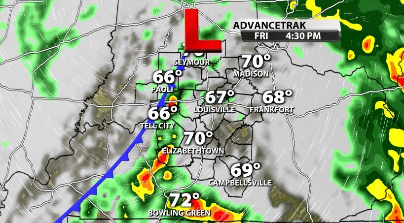
It is possible those stronger storms could miss Churchill Downs; not everyone will see strong storms today. But if you're headed out to the track, make a plan for what to do if lighting approaches. It's not safe to be outside with lightning nearby.
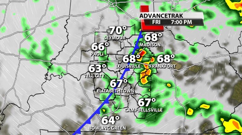
By evening the heaviest rain moves east out of our area, and lighter rain continues off and on through early Saturday morning.
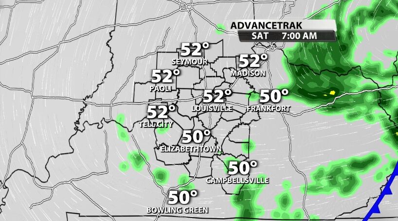
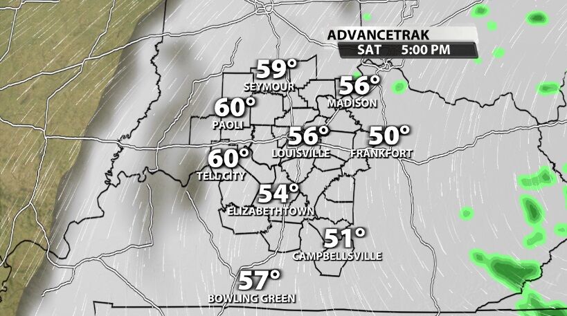
The center of low pressure stays nearby Saturday, so clouds hang tough most of the day. Drizzle or light sprinkles will be possible, too, especially earlier in the day.
Turn on WDRB News today to see where the stronger storms are setting up and the updated timing.


