
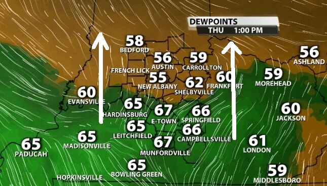
Can you feel it? In addition to the heat, the humidity is also building today. This will be the beginning of a more summery, stormy pattern setting up for the next few days.
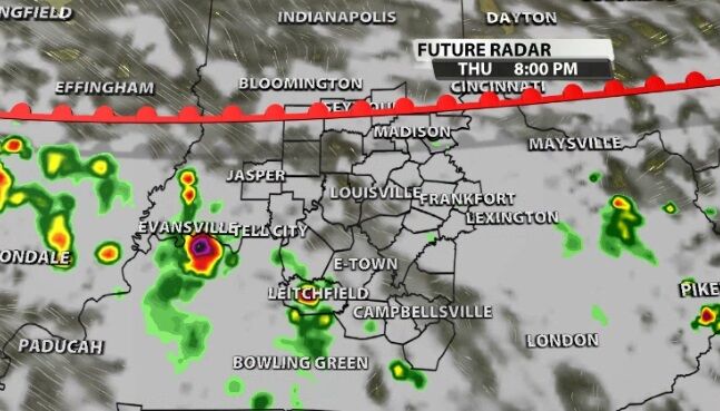
The rounds of storms each day will partly depend on the one before and partly on the larger-scale weather patterns nearby. Tonight storms start to thin out after the sun sets when we lose the heat of the day.
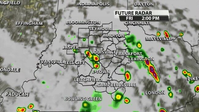
Friday will see a few showers in the morning with more popping up later in the day. Friday should bring more showers and storms to our area than what we saw Thursday with a quick burst of heavy rain, gusty wind, and thunder/lightning.
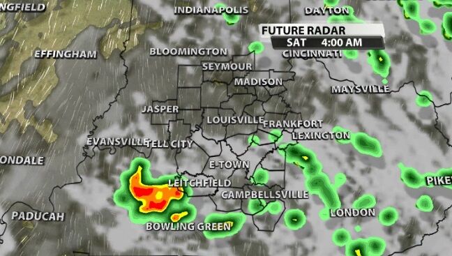
Again, those storms should pulse down overnight, though they won't totally disappear. A similar pattern repeats Saturday and Sunday with a round of showers possible early but stronger storms more likely later in the day.
None of these days have an elevated risk of organized severe storms, but pulse-type stronger storms are possible. This would mean one or two rouge stronger storms instead of warnings covering large parts of our area. Be weather aware this weekend, especially if you have outdoor plans. It's important to note none of the days in the forecast are a washout. We will see scattered storms each day as discussed above, and there will also be lots of dry time with periods of the sun coming out, too.


