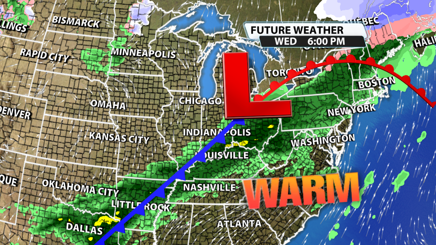


From Monday morning's wintry mix and below-freezing temperatures to the mid-week heavy rainfall that lead to river flooding to Friday's sunshine and record-breaking warmth, we've seen it all this week. This weekend brings us another change with strong storm potential as a cold front scoots across the region.

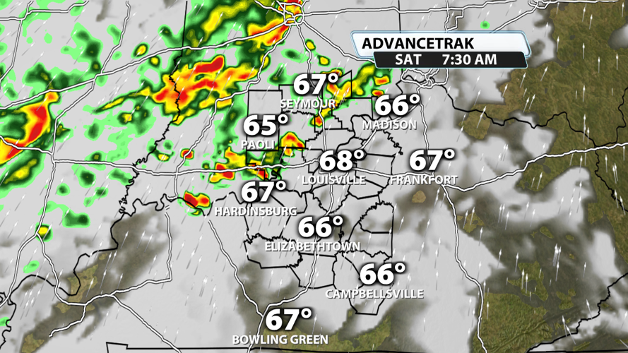
Saturday morning will start off dry for most of our Kentucky counties, but rain could already be moving into southern Indiana. Showers and storms might enter our northern and western counties between 7 and 9 AM. There is currently a low chance that they reach Louisville before 10 AM, so keep an eye on the radar and the skies if you are heading downtown for the Whiskey Row 5K.


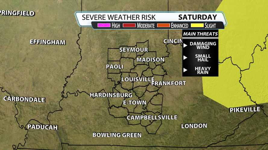
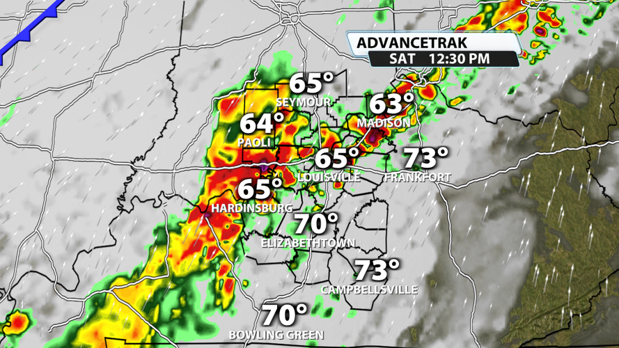
Midmorning through the afternoon brings us widespread showers and storms. It's almost guaranteed that you will get something at some point. Some of these storms will be strong to severe with a few instances of damaging wind gusts and maybe some small hail possible.

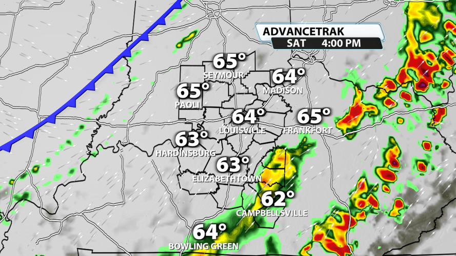
The storms clear out by dinnertime, but some gusty showers could remain until the cold front slides by Saturday night. Gusts with these afternoon/evening showers could be between 25 and 30 mph at times.

Another front moves in midweek, and it will bring more heavy rain potential. Once all is said and done over the next 7 days, we could stack up another 1 " - 3" of rain areawide.


