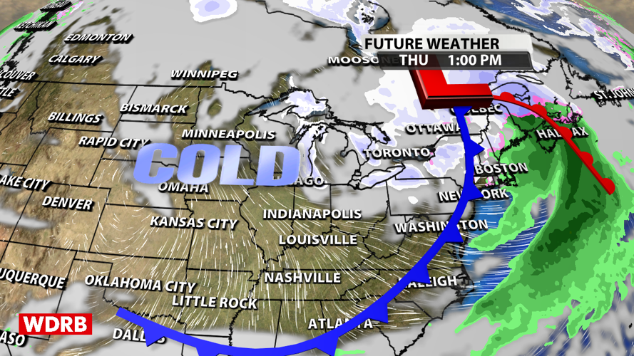


We've got a cold front swinging across the region tonight, and it is going to usher in a TON of cold air. In fact, this is likely going to be the coldest air we have seen in the second half of 2024.

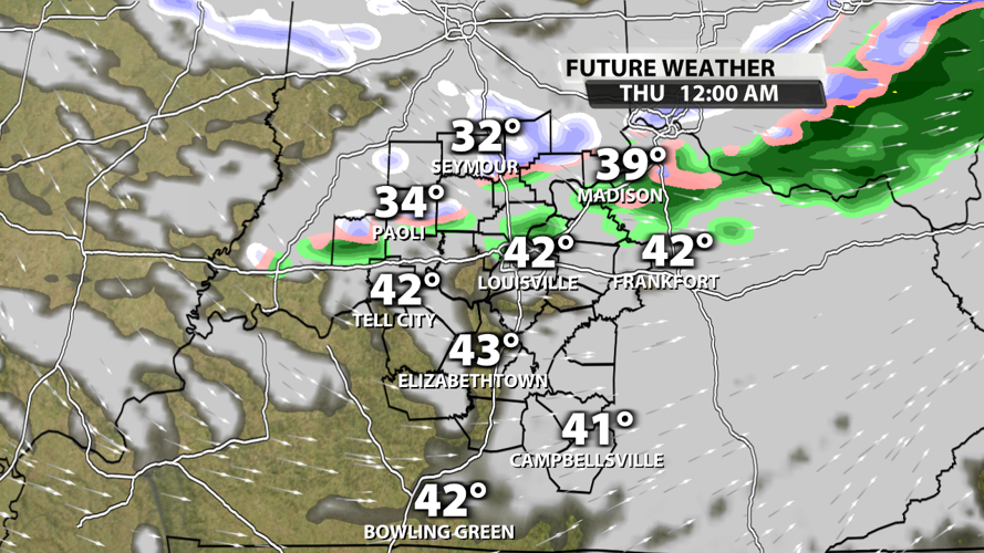
Many of us topped out around 50 degrees as sunshine broke through the clouds earlier this afternoon, but temperatures will drop very fast overnight. By midnight, the few rain showers we have will be transitioning to snow. Don't be surprised if roads quickly become slick late tonight and stay slick tomorrow. The warm air we had today may have been enough to take our ground and road surface temperatures back above freezing, but everything could freeze again tonight as the temperatures drop.

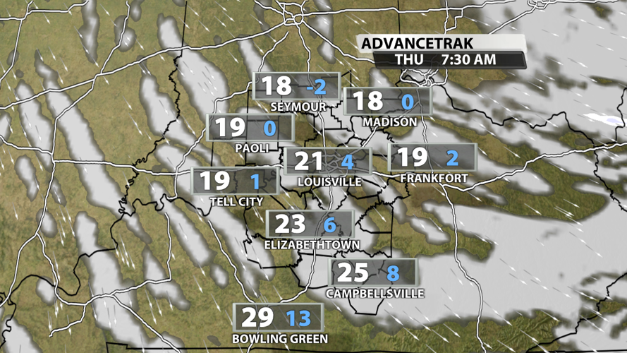
Temperatures tomorrow morning will be down in the teens with wind chills potentially dropping to 0 in Southern Indiana. Highs on Thursday will stay below the freezing mark.

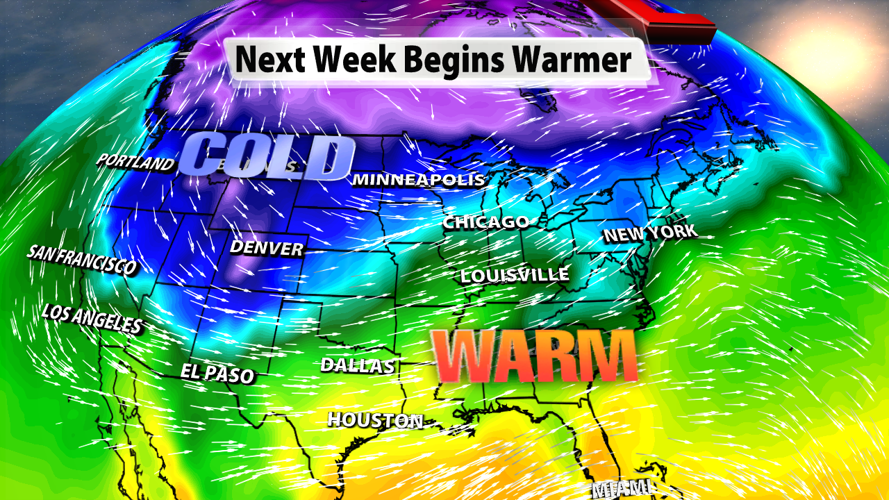
Friday won't give us any relief from the frigid air as temperatures stay well-below normal. But for those tired of the cold air, there is some hope! We warm up this weekend and start off next week with highs making a run at 60 degrees... but that warm air comes with quite a bit of rain. We'll break that down for you on WDRB this evening.


