
We've seen some major changes to model data over the last 36 hours concerning Mother's Day. Let's talk about it!
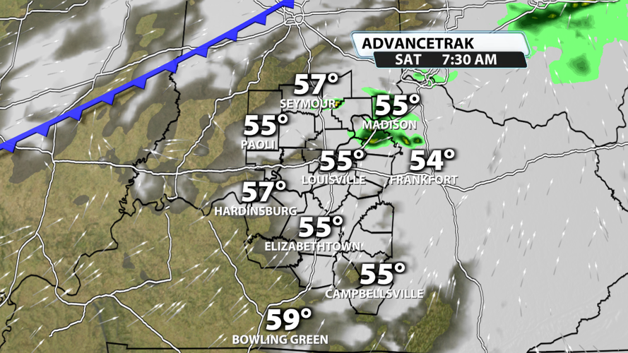
Saturday is still expected to start off with a 10-20% chance for rain and temperatures in the low to middle 50s. This hasn't changed from previous forecasts.

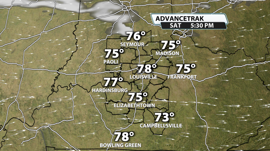
Clouds will move out before noon for most of Kentuckiana, and temperatures will climb quickly under sunny skies Saturday afternoon. Because the front from Friday night/Saturday morning will wash out and not pass through the whole region, we expect highs to top out close to 80 degrees in our warm spots.

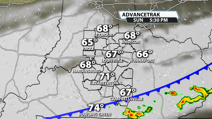
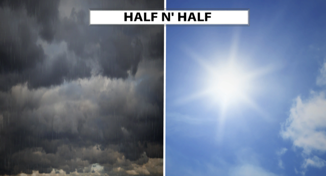
Sunday is now expected to be much drier than what models depicted earlier this week. A cold front is still expected to move across the region, and cloud cover could be dense at times. But the big changes are the timing of the rain, the amount expected, and the coverage. If the front ends up moving through a few hours earlier than currently anticipated, temperatures will be split from one side of the area to the other. Folks in Southern Indiana would stay in the middle to upper 60s, anyone close to the Ohio River would peak around 70 degrees, and places south of the Kentucky Parkways would probably top out in the middle or even upper 70s.

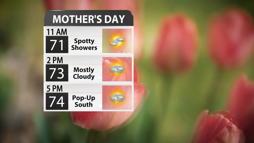
We're now expecting a low-end chance of some lighter showers in the mid-morning with a few storms possible in the afternoon, but nothing points to a washout or even widespread showers on Mother's Day.

We hope you have a happy Mother's Day and get a chance to celebrate with people you love!


