

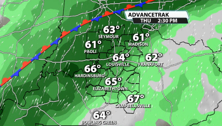
Hopefully you're able to get outside and enjoy some sunshine today along with the temperatures in the 60s because it won't last much longer! We're about to settle into a much wetter pattern over the next week or so in our area.
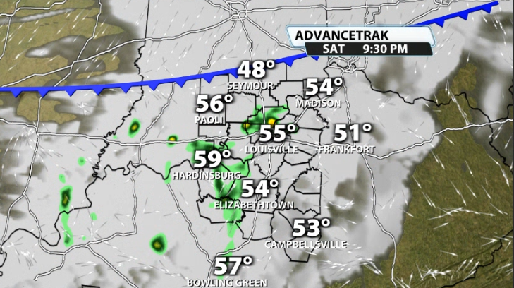
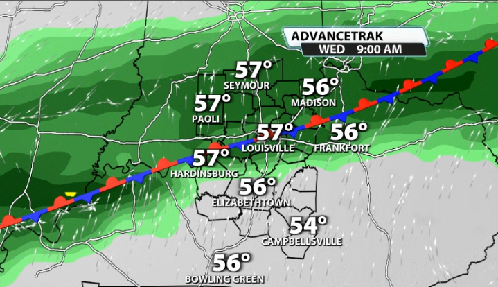
A front will move through tonight that could bring in a few showers, but it should remain pretty scattered. That front will drop temperatures quickly and will only allow us to reach near 50 for the high temperatures on Sunday.
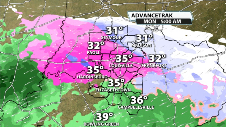
Monday will bring a chance for a wintry mix to our area. There is still a lot of conflicting data with how much moisture will be available, but high resolution data that is starting to come in this morning is showing that chance for Monday morning. A sleet/snow mix could start us off on Monday, but pavement temperatures should still be well above freezing, so the impact on roads should be minimal.
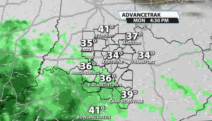
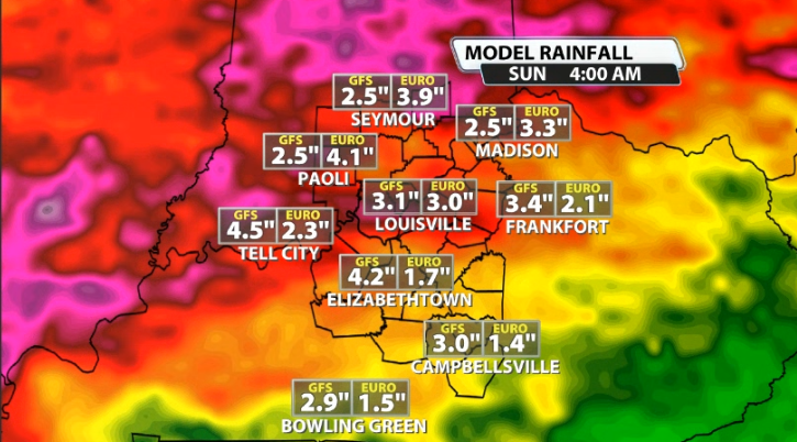
Whether that plays out or not, soon after we settle in to a wet week. A frontal boundary will stall over our area this upcoming week and will provide enough of a spark to get multiple days worth of widespread rain chances, especially on the Indiana side.
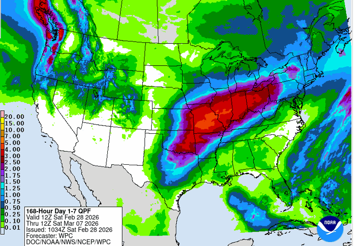
This could end up adding up quickly, with some locations seeing more than 3-5" of rain by the end of the upcoming week.

Courtesy: NOAA


