

LOUISVILLE, Ky. (WDRB) — The National Weather Service confirmed Wednesday that an EF-1 tornado touched down in Carroll County before continuing into Grant County during Tuesday afternoon's severe storms.
According to a preliminary storm survey, the long-track tornado reached peak winds of 110 mph and stayed on the ground for 21.7 miles.
The tornado was about 500 yards wide at its largest.
The NWS said the tornado developed in Carroll County and tracked into Grant County before lifting.
A second long track tornado has been confirmed in our area from the storms yesterday. An EF-1 tornado touched down in Carroll County, KY and stayed on the ground through Grant County, KY. This tornado was 500 yards wide with 110 mph winds and was on the ground for 21.7 miles. pic.twitter.com/VU8gfPaH4N
— Marc Weinberg (@MarcWeinbergWX) July 23, 2026
Severe storms hit several Kentucky counties Tuesday afternoon. An "extremely dangerous" tornado in Hart County near Munfordville was radar-confirmed by the National Weather Service, and several other Kentucky counties were under tornado warnings.
The NWS confirmed an EF2 touched down in southeast Grayson County with maximum winds of 115 mph.
The NWS also said Wednesday their preliminary report showed a tornado with EF1 winds reaching 95 mph hit Hardin County near Fort Knox on Tuesday.
IMAGES | Severe weather rips through Kentucky, bringing damage across several areas
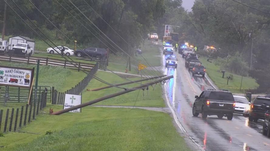
Tornado damage on July 21, 2026, in Hart County, Kentucky. (WDRB Photo)
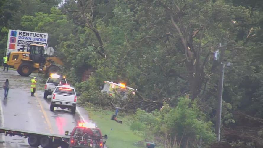
Tornado damage on July 21, 2026, in Hart County, Kentucky. (WDRB Photo)
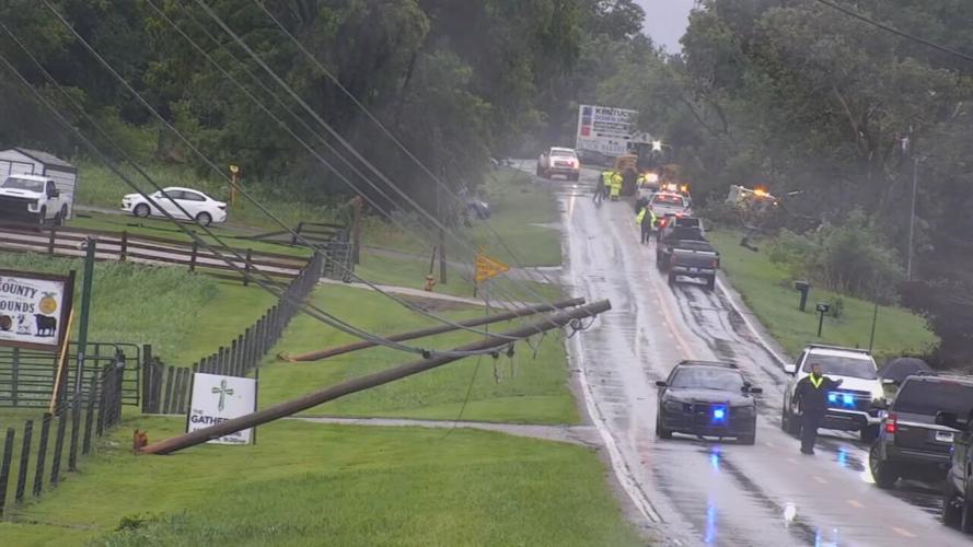
Tornado damage on July 21, 2026, in Hart County, Kentucky. (WDRB Photo)

Tornado damage on July 21, 2026, in Hart County, Kentucky. (WDRB Photo)
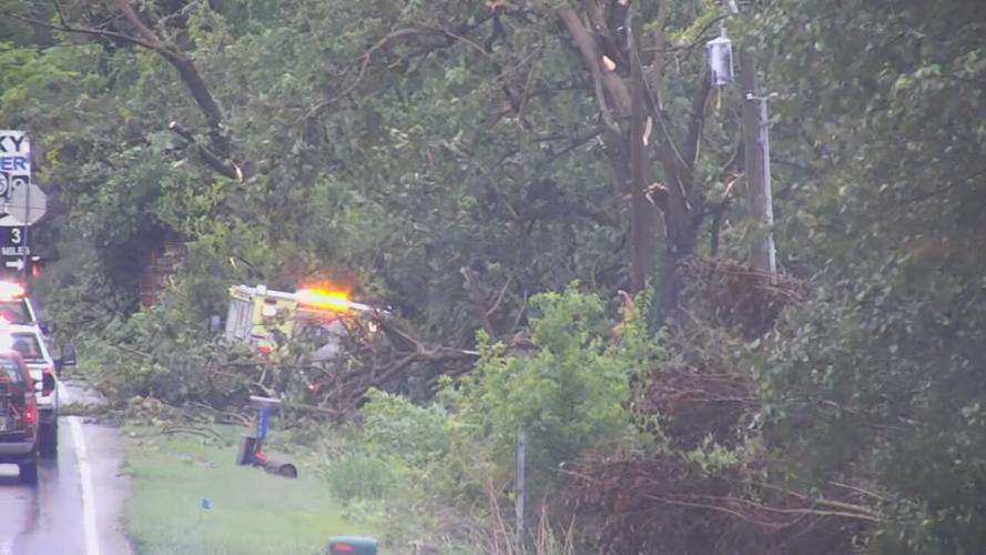
Tornado damage on July 21, 2026, in Hart County, Kentucky. (WDRB Photo)
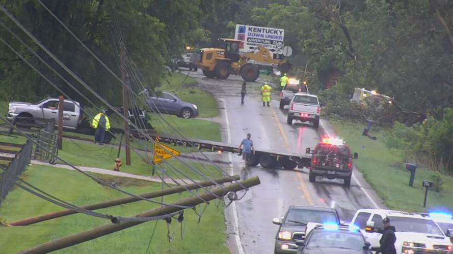
Tornado damage on July 21, 2026, in Hart County, Kentucky. (WDRB Photo)
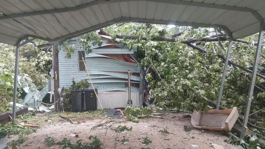
Severe weather rips through Kentucky on July 21, 2026, bringing damage across several areas. (Photo submitted by Blake Schroerlucke, Deputy Director of Grayson County Emergency Management)
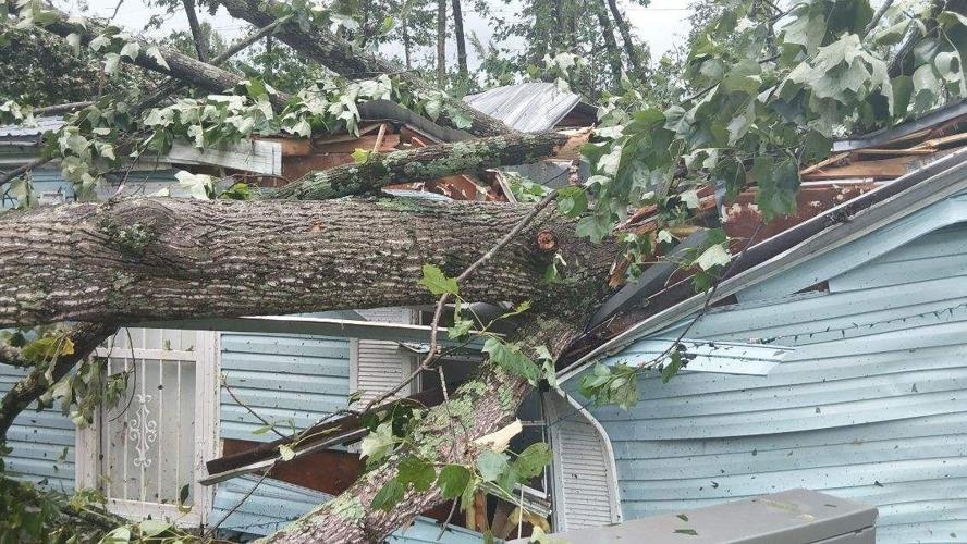
Severe weather rips through Kentucky on July 21, 2026, bringing damage across several areas. (Photo submitted by Blake Schroerlucke, Deputy Director of Grayson County Emergency Management)
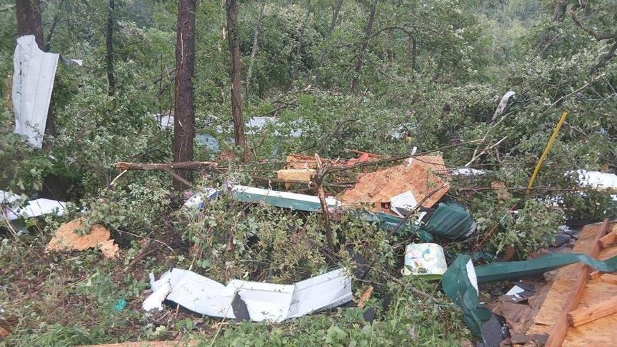
Severe weather rips through Kentucky on July 21, 2026, bringing damage across several areas. (Photo submitted by Blake Schroerlucke, Deputy Director of Grayson County Emergency Management)
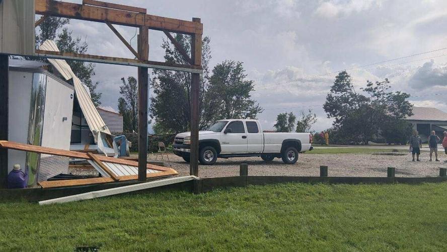
Severe weather rips through Kentucky on July 21, 2026, bringing damage across several areas. (Photo submitted by Blake Schroerlucke, Deputy Director of Grayson County Emergency Management)
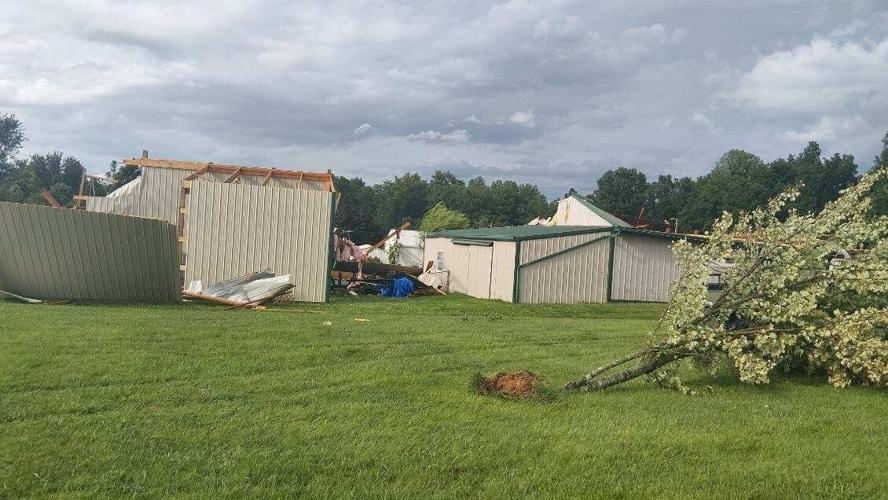
Severe weather rips through Kentucky on July 21, 2026, bringing damage across several areas. (Photo submitted by Blake Schroerlucke, Deputy Director of Grayson County Emergency Management)

Severe weather rips through Kentucky on July 21, 2026, bringing damage across several areas. (Photo submitted by Blake Schroerlucke, Deputy Director of Grayson County Emergency Management)
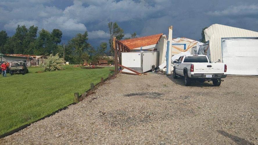
Severe weather rips through Kentucky on July 21, 2026, bringing damage across several areas. (Photo submitted by Blake Schroerlucke, Deputy Director of Grayson County Emergency Management)
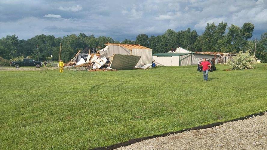
Severe weather rips through Kentucky on July 21, 2026, bringing damage across several areas. (Photo submitted by Blake Schroerlucke, Deputy Director of Grayson County Emergency Management)

Severe weather rips through Kentucky on July 21, 2026, bringing damage across several areas. (Photo submitted by Blake Schroerlucke, Deputy Director of Grayson County Emergency Management)
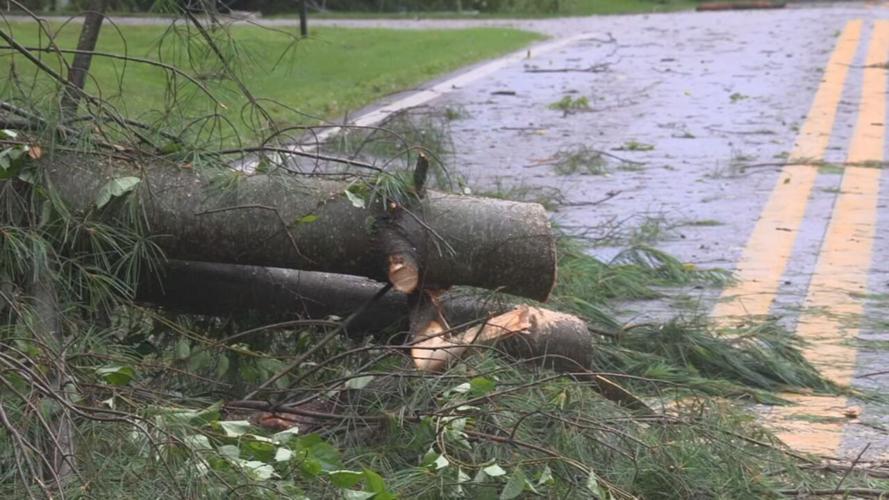
Severe weather rips through Kentucky on July 21, 2026, bringing damage across several areas. (WDRB/WAVE Photo)

Severe weather rips through Kentucky on July 21, 2026, bringing damage across several areas. (WDRB Photo)

Severe weather rips through Kentucky on July 21, 2026, bringing damage across several areas. (WDRB Photo)

Severe weather rips through Kentucky on July 21, 2026, bringing damage across several areas. (WDRB Photo)

Severe weather rips through Kentucky on July 21, 2026, bringing damage across several areas. (WDRB Photo)

Severe weather rips through Kentucky on July 21, 2026, bringing damage across several areas. (WDRB Photo)

Severe weather rips through Kentucky on July 21, 2026, bringing damage across several areas. (WDRB Photo)

Severe weather rips through Kentucky on July 21, 2026, bringing damage across several areas. (WDRB Photo)

Severe weather rips through Kentucky on July 21, 2026, bringing damage across several areas. (WDRB Photo)
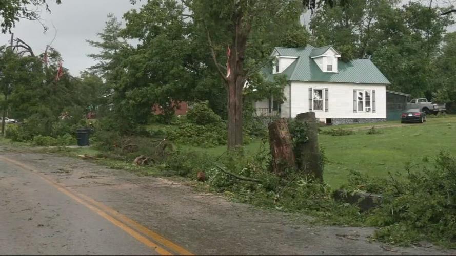
Tornado damage on July 21, 2026, in Hart County, Kentucky. (WDRB Photo)

Tornado damage on July 21, 2026, in Hart County, Kentucky. (WDRB Photo)
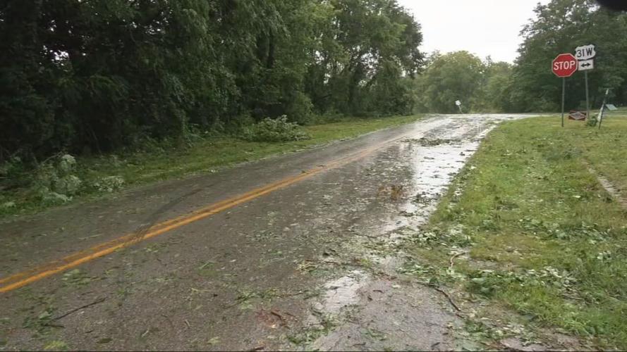
Tornado damage on July 21, 2026, in Hart County, Kentucky. (WDRB Photo)

Tornado damage on July 21, 2026, in Hart County, Kentucky. (WDRB Photo)
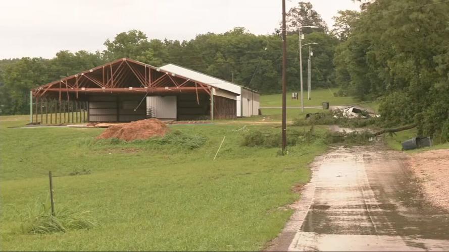
Tornado damage on July 21, 2026, in Hart County, Kentucky. (WDRB Photo)
Copyright 2026 WDRB Media. All Rights Reserved.


