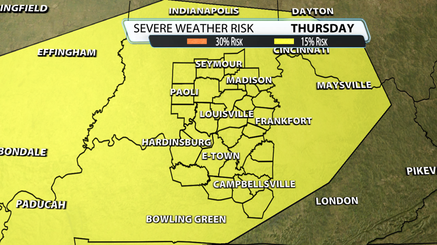


It's been a while since we've had to talk about severe weather. The deep freeze is over, temperatures warm up, and often times that has consequences in the form of strong storms. As a result, the Storm Prediction Center placed all of our area under their 15% risk on Thursday. At this point, our goal is to raise awareness for the potential, nothing more.

Generating severe weather is a process that requires the right amount of ingredients at the same time. There is no doubt that we have an abundance of wind energy Thursday evening. The variable comes down to how much instability storms have to feed on. Does drier air get mixed down from aloft knocking down dewpoints? Can rain develop ahead of the front keeping our atmosphere stabilized? How fast do clouds break up allowing energy to build? Honestly, we're not talking about widespread storms meaning it might not even rain at your house! Right now, the best wind energy comes up after sunset as the instability levels are going down. That would be great and keep the severe threat lower.
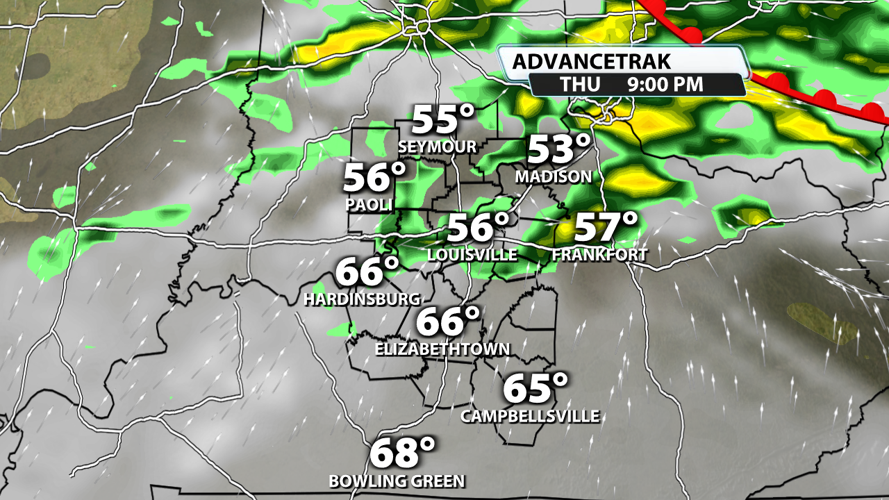
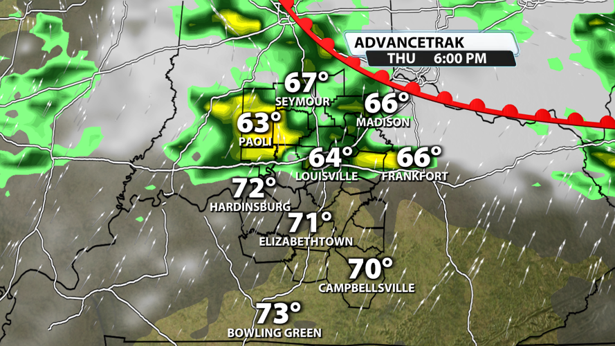
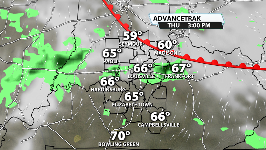
One thing we can't ignore is that warm fronts are the worst. Storms have the ability to rotate along these boundaries aiding development and maintenance. This is one of these exceptions to the rules because wherever that front sets up shop, strong wind energy can overcome weak instability. Check out the future radar images below...


Damaging winds are the main threat by far. Small hail is possible, but nothing large enough to do damage. Finally, a tornado or two can't be ruled out where the warm front ends up. It's premature to say where that location may be so please check back with us in the coming days. We will be watching the late afternoon and early evening. In the meantime, enjoy this taste of spring while we have it!
