
A strong low pressure center will barrel through our area this weekend bringing an active pattern that takes us from thunderstorms to snow potential. This post discusses what we are watching and what you may see from the weather this weekend.
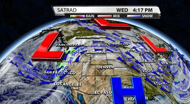
The Low in question isn't even on the U.S. mainland yet. That matters because our weather forecast models get a better look at it once it's in the U.S. grid. For now we're learning as much as we can about it from observations we get while it's over the ocean.
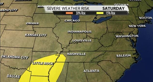
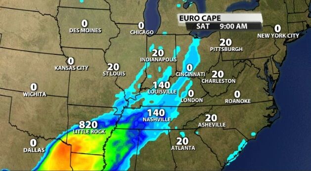
We can already see that it will be a potent system when it arrives here. That's why the Storm Prediction Center posted this Slight risk of severe storms earlier this week. You'll notice the area highlighted in yellow above pretty closely matches the areas shaded below as having the highest instability Saturday.
While there is some instability in our area that will likely help enhance the storms that arrive, it shouldn't be enough to create widespread severe weather. Instead the wind will be the driving force in this system. Thankfully, the wind profile looks mainly unidirectional instead of highly sheared which would increase our threat for severe storms. That seems unlikely to change, but we will let you know if it does.
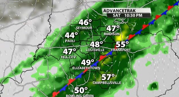
In the warm sector, our high temperatures will be well into the 60s. That warm air will help fuel the chance for thunder and lightning along with the expected rain Saturday night. Getting heavy snow on the backside of a low pressure center like this is hard to do in our area, especially this time of year. If this same setup arrived in February, it might be different than discussing snow potential in mid-December.
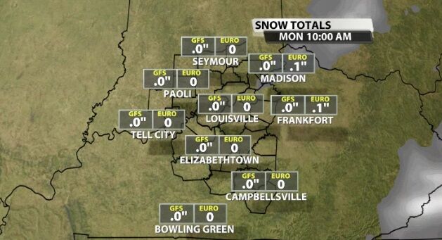
If we do get snow from this, we're talking about wet flakes flying in the air; not snow sticking, accumulating, and causing lots of problems.
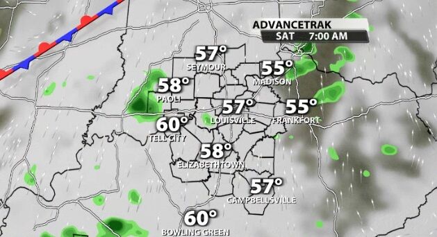
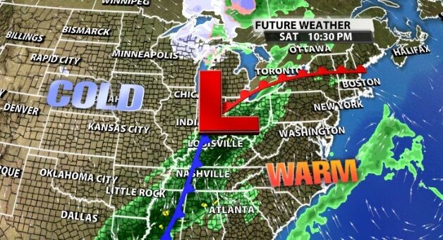
The timeline for this brings lighter rain and clouds into our area Saturday morning with plenty of warm air already in place. The heavier rain and thunderstorms arrive Saturday night. Rain potential generally looks between one and two inches coming along with gusty wind.
The chance for snow comes Sunday morning, but the heavy moisture is moving out when the cold air moves in. Right now it doesn't seem like those two factors line up closely enough for a good snow in our area.
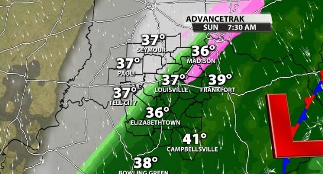
One of the things snow lovers should hold on to is the idea of dynamic cooling. The basic idea is that heavy precipitation can cool the atmosphere through which it falls. Heavy rain early Sunday may lower the atmospheric temp an extra couple degrees giving you your best hope of more snow.
As we get more and better data on this system, we will continue to refine this forecast and share updates with you on TV, on wdrb.com, and in the WDRB Weather app.


