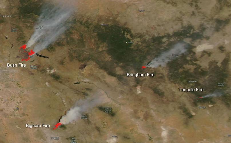
It is still relatively early in the wildfire season out West but already wildfires are crossing the state of Arizona and heading into New Mexico. Four large wildfires were captured by the NASA Aqua satellite on June 17, 2020 in this image. Three of them are in Arizona and one is inside the state line of New Mexico.

THE BUSH FIRE
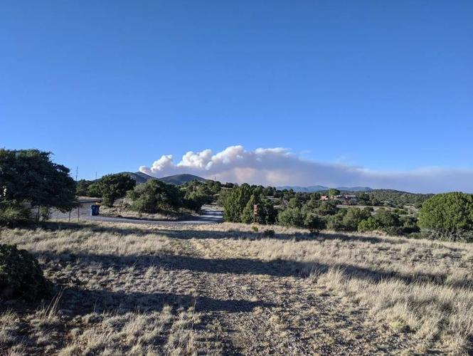
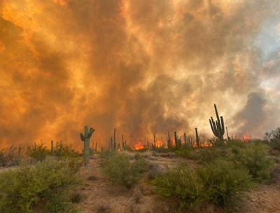
The Bush Fire is by far the largest of the four at more than 114,000 acres and is only 5% contained. This fire began on Saturday, June 13, 2020 and it has been determined that this fire was human-caused. The Bush Fire is located in the Tonto National Forest, about 8 miles northeast of Mesa, AZ. Due to the growth of the fire and its movement near communities Emergency Management Services in Gila and Maricopa counties are evacuating Apache Lake, Sunflower, Punkin Center and Tonto Basin. Weather concerns regarding fire growth include hot, dry conditions, coupled with increased winds which will continue to push the fire to the north, northeast, and southeast. There is also an abundance of fuel for the fire with invasive grasses in the desert ecosystem, native grasses and low fuel moisture in the live plants.
THE BIGHORN FIRE
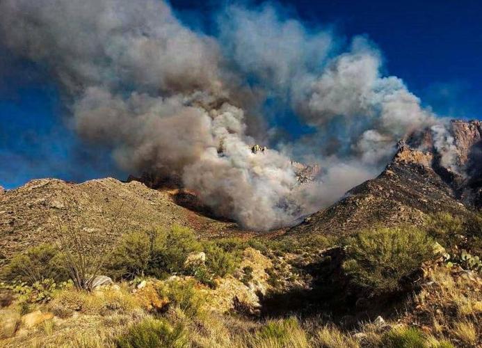
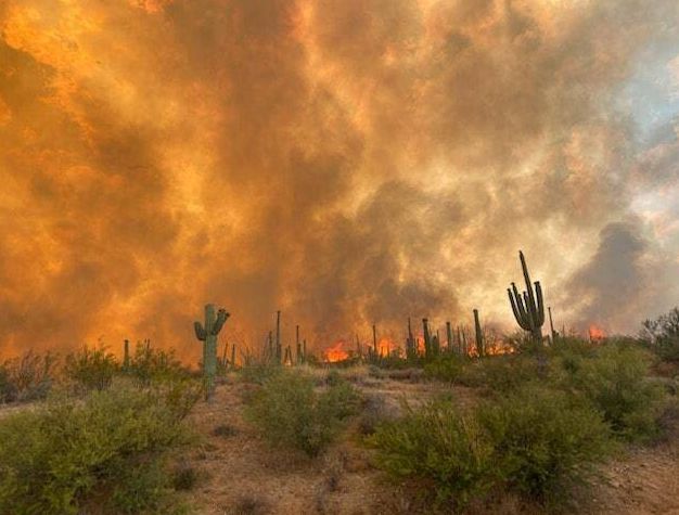
The second fire, located to the south of the Bush Fire, is the Bighorn fire. This fire began on June 05, 2020, with a lightning strike in the Catalina Mountains of the Coronado National Forest. This fire has consumed over 30,000 acres and is 40% contained. Dry, windy conditions have pushed the fire closer to communities and is now forcing evacuations. Weather concerns include, “Maximum temperatures from the upper 70s in the upper elevations to 102 degrees on the valley floor and minimum relative humidity values were between 5 and 8 percent on the valley floor and 9 to 14 percent in the upper elevations.” Earlier red flag warnings were in effect due to 20-foot winds southwest at 15 to 25 mph, with a maximum gust to around 30 mph on the valley floor and 45 mph at Mt. Lemmon Ski Valley. The project incident activity is that: “This fire will likely continue around Cathedral Rock and work its way down Ventana, Esperero, and Romero Canyon.”

THE BRINGHAM FIRE
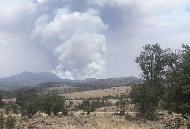
The third fire is located in the middle of the satellite photo is the Bringham fire which began on June 06, 2020, also with a lightning strike. This fire has burned 15,398 acres and is 5% contained. The Bringham fire is located 22 miles north of Morenci, AZ. is currently burning on the Clifton Ranger District of the Apache-Sitgreaves National Forests. Forecasters are expecting thunderstorms in the fire area with gusty and erratic winds. The weather continues hot and dry, increasing into next week. Red Flag conditions are also expected. The Bringham Fire is burning in steep inaccessible terrain. Only indirect fire attack is possible.

THE TADPOLE FIRE
The last and smallest fire in the NASA Aqua satellite image is the Tadpole fire which is located 12 miles north of Silver City, New Mexico near the Gila National Forest. It also began during the thunderstorms on June 06, 2020, with a lightning strike. It is currently (as of yesterday) 6,800 acres and is 30% contained. Overall, the fire's spread is still slow, however, the major weather concern with this fire is that moisture that had been in the area has pushed out and the area is trending back to typical mid-June heat and dryness which would most likely cause the fire to expand.


