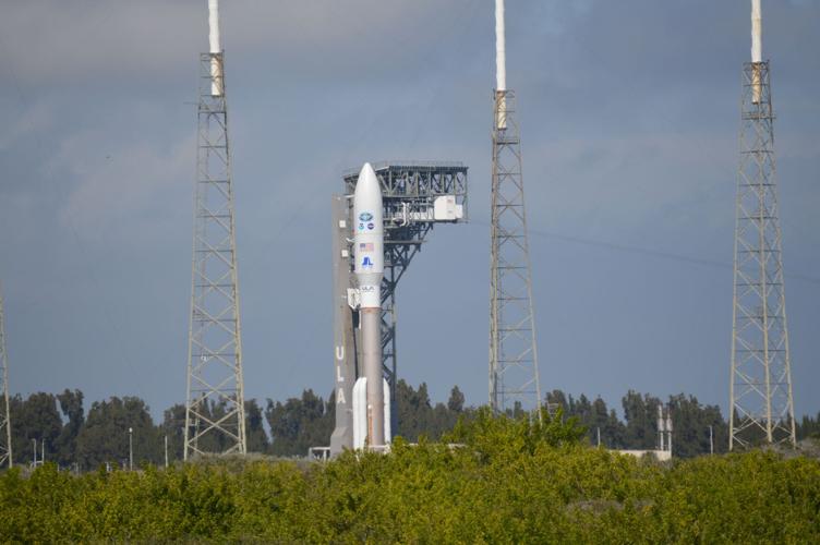

The GOES-18 weather satellite has started sending back images from space, and today we got a beautiful look at Earth! The satellite launched into orbit in early March. You may remember seeing some of my coverage of that launch, like the photo below showing GOES-18 mounted on top of the rocket that sent it into space (before launch it was called GOES-T if you're looking back for previous information about this launch).

Today the National Oceanic and Atmospheric Administration shared some of the first images to come from GOES-18!
.@NOAA's newest satellite, #GOES18, has sent back the first images of Earth from its Advanced Baseline Imager! 🌎Check out this stunning imagery, showcased in this week's #EarthFromOrbit video! Learn more: https://t.co/DpiW0qcjOG pic.twitter.com/zlJeCFNHed
— NOAA Satellites (@NOAASatellites) May 11, 2022
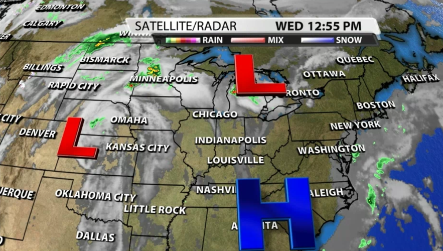
This satellite is orbiting the Earth more than 22,000 miles above the equator. GOES stands for Geostationary Operational Environmental Satellite, meaning it orbits at the same speed the Earth spins so it's always looking at the same spot on the planet instead of letting the Earth spin beneath it to look at the whole globe. This allows scientists to get a super close look at weather and hazards (like thunderstorms and wildfires) without interruptions to the data. This is data we use every day in our "satellite and radar" maps we show you on TV.

According to NOAA, "GOES-18 is currently undergoing post-launch testing, validation and calibration of its instruments and systems to prepare it for operations." Once it's fully operational GOES-18 will become the new GOES West satellite. We have two GOES satellites in orbit over North America so we can get hi-resolution data of the whole country - GOES East and GOES West. NOAA shared that GOES-18 will be replacing GOES-17, the current GOES West, in early 2023 if all goes according to plan.


