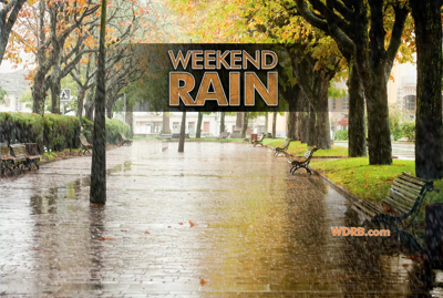
This weekend brings another round of rain, but the whole weekend will not be a washout. In fact, right now the timing of this rain is basically best case scenario for any outdoor plans you have this weekend.

The two main long-range forecast models we look at disagree on the timing of this rain because they disagree on the timing and track of the weather system bringing that rain to us. So these screenshots and this discussion will focus on what we expect to happen instead of one model versus another.

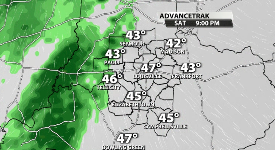
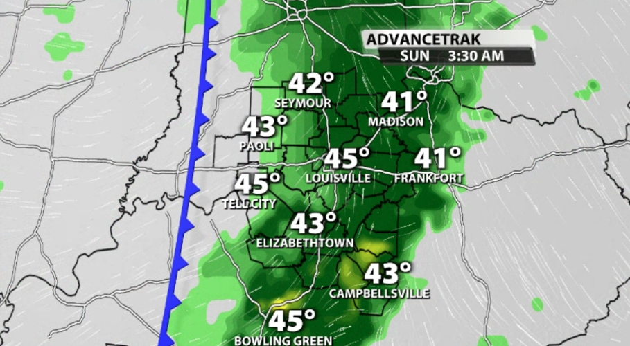
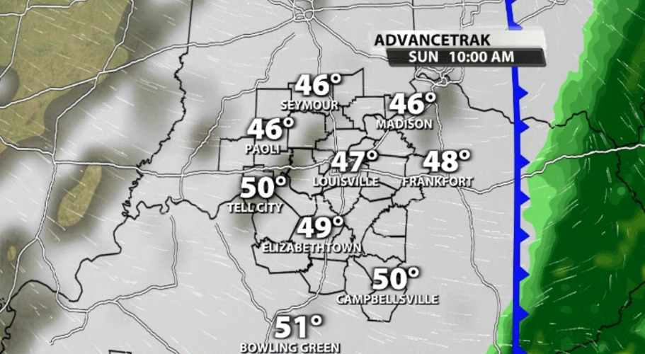
Rain should start after dark Saturday evening and continue through the overnight hours with showers lingering into Sunday. At this point the heaviest rain looks like it will be in our area Sunday morning with lighter showers leftover as we wrap up the day.

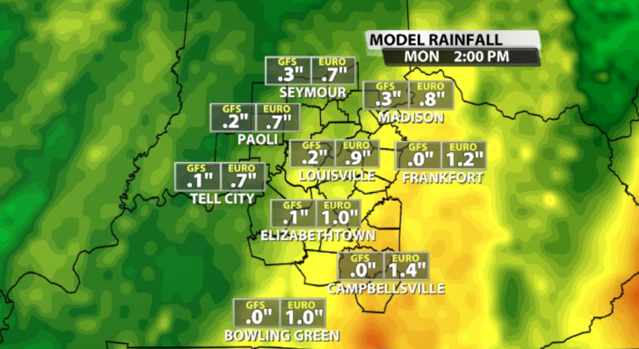
The screenshots here are of the European forecast model which includes more rain than the American model. Consider that as you look at the projected rain totals below; the reality will likely be in between these two options.

Tune into WDRB News tonight to see the updated data on the timing of this rain and hear Marc and Rick's thoughts about how much to expect.


