
Pyrocumulonimbus will be our word of the day; it's actually not that complicated if you break it down into its roots.
- pyro: meaning fire or heat in Greek
- cumulo (or cumulus): meaning heap or pile in Latin. Used on its own, these are the big fluffy clouds you see in the sky pretty regularly.
- nimbus: cloud or bright cloud, from Latin
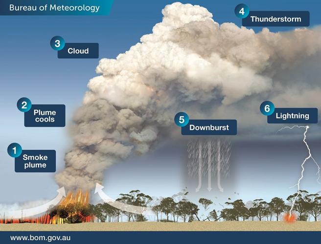
A cumulonimbus cloud is something I can guarantee you have all seen before - it's a thunderstorm cloud! Add "pyro" in front of that and you get a thunderstorm created by fire. The graphic below (reproduced with the permission of Australia's Bureau of Meteorology) shows the anatomy of these beasts.

How do we get a thunderstorm on a normal day? Warm, moist air moves upward forming an updraft. Under the right circumstance a large, hot wildfire can provide enough heat energy to create that updraft. As the updraft rises, it cools (in both a regular thunderstorm and ones started by a fire) and condenses into a cloud. The warm updraft continues to grow and feed the cloud as it develops into a thunderstorm. Yes, these thunderstorms can generate rain, but usually not in the right places. As a thunderstorm grows and develops, it often becomes tilted like in the image above. The rain is not falling directly above the fire, so it's not helping to put out the fire.
These pyroCbs clouds (short-hand for pyrocumulonimbus) were reported early last week in East Gippsland, Victoria, in Australia. The concern (illustrated in the graphic above) is that these storms produce lightning which could spark more fires. Click here to read more about the ongoing wildfire threat in this region.

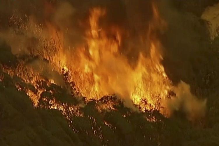
In this image made from video, an aerial scene shows fires burning in East Grippsland, Victoria state, Tuesday, Dec. 31, 2019. Wildfires burning across Australia's two most-populous states Tuesday trapped residents of a seaside town in apocalyptic conditions, destroyed many properties. (Australian Broadcasting Corporation, Channel 7, Channel 9 via AP)