A cold front will pass through our area Saturday morning bringing rain and storms with it before it drops temperatures and humidity. While the weekend does start with rain, it ends with sunshine and much more comfortable air!
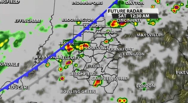
While the threat of organized severe weather is low, some of these storms may be strong enough to wake you up in the middle of the night. Heavy rain, gusty wind, and thunder and lightning are all possible as this line moves through.
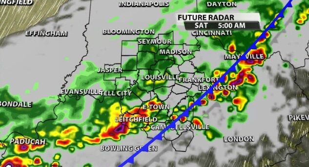
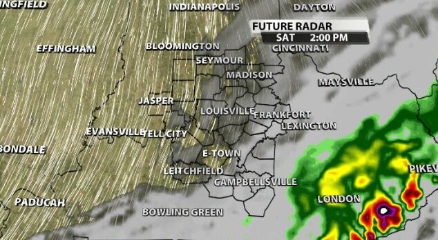
By daybreak Saturday lighter rain should be moving out of southern Indiana, and it clears out of Louisville (and communities closer to I-64) between 8 and 10 AM.
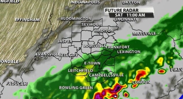
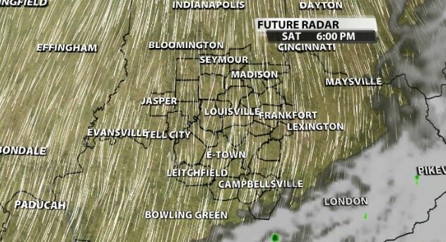
The rain continues to move toward the southeast, so Kentucky will still be dealing with it until the middle of the day. By 1-2 PM even those communities should be drying out as the rain pulls away from our area.
The air dries out quickly behind the front, so we should be able to see some sunshine before the day ends as the clouds pull away, too. With temperatures topping out in the 70s, Saturday afternoon will turn really nice!
The communities who see heavier rain could catch between half an inch and an inch of rain. That seems most likely in our northwestern and southeastern communities. The middle swath of our area should see less than half an inch of rain as it breaks up a little more in those spots.


