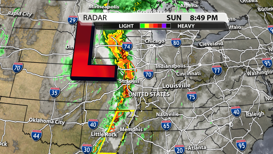

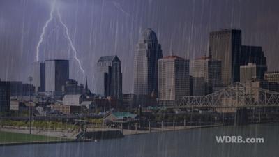

A storm system to our west is rocking and rolling and bringing severe weather to a lot of folks this evening. This same system will roll across our region tonight, but it will look a lot different when it gets here compared to what it is right now.

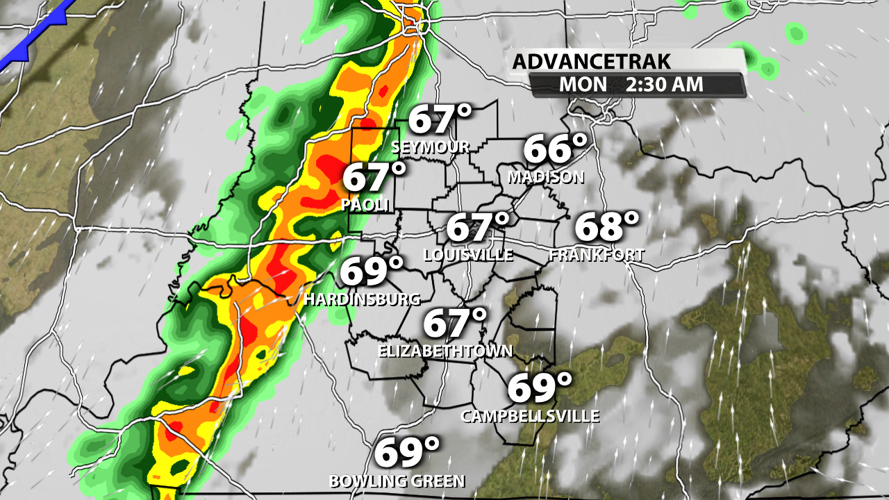
Shower and storms will hold off for our area until after midnight. The most likely timeframe for arrival of storms is 2-3:30 AM. At this point, the line of storms should be separating itself from the cold front. The energy in our atmosphere is also be diminishing as the storms arrive due to a loss of daytime heating. These two atmospheric factors will decrease the storms' intensity, but they could still be quite breezy with some heavy rain possible.

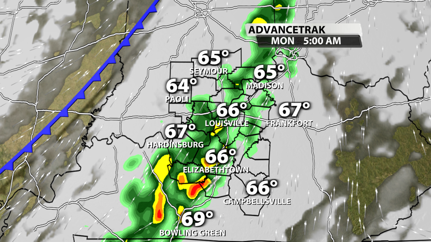
Rain will be likely in Louisville for the start of the Monday morning commute. Once it starts, showers will probably hang around for a few hours.

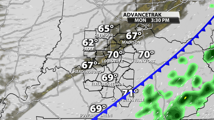
The cold front will push the rain out of our region during the late afternoon hours on Monday. At this point, temperatures will be able to rebound to the seasonal low 70s for a short time.

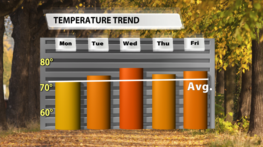
Next week will be warmer than average, but not by a lot. Most days should hover in the middle and upper 70s, but we won't rule out a couple of stray 80s on our warmest days.


