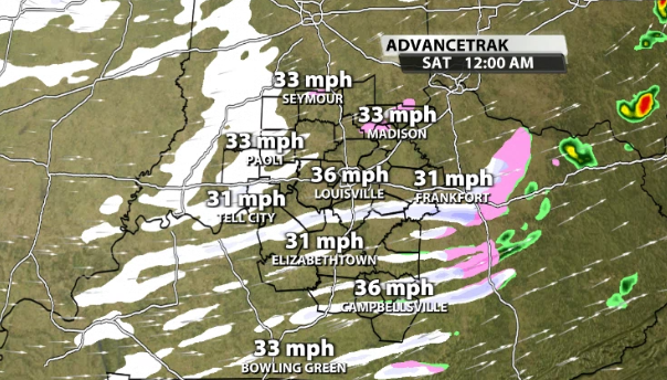
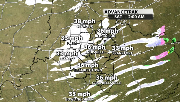
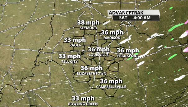
After a windy and wet Friday, it's time to focus in on the potential for snow tonight and again Saturday night. Overnight snow showers and snow squalls will be possible FOR SOME of us, not all. Keep in mind, we still have a Wind Advisory in effect until 7 am Saturday for gusts up to 40 mph. That means you need to watch out for blowing snow and reduced visibilities. A quick coating to 1/2" is on the table in spots. Since temperatures drop below freezing, the snow can stick creating slick roads through Saturday morning. You can see the streaks of snow on future radar from 10 pm - 2 am before they taper off by 4 am...


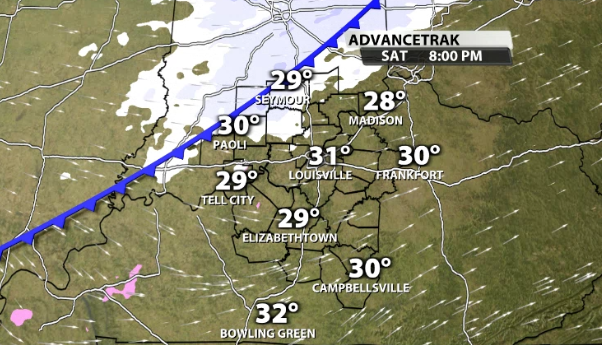
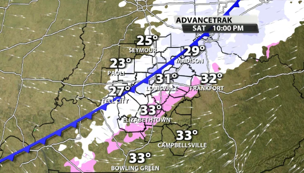
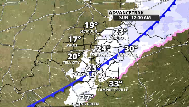
You have a much better chance at seeing a little snow Saturday night. Why? Anytime time true arctic air moves in, it has a tendency to produce light snow. Arctic air is very thin and dense which forces air upward rather abruptly. That squeezes out any moisture it can find and with the cold air already in place, it would be in the form of snow. Future radar shows that arctic front producing snow in Indiana around 6-8 pm, Louisville Metro around 8-10 pm, and Kentucky from 10pm -12am Sunday...


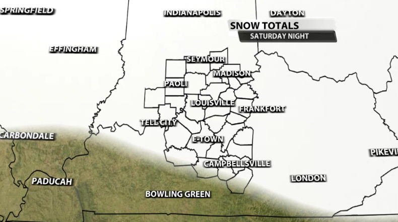
The snow ratios will also be higher implying it takes less moisture to produce more snow. Light, fluffy accumulations of up to 1" will be possible. The snow you do see will stay because temperatures stay below the freezing mark for 120 hours. It doesn't stop there. We have another decent opportunity for minor accumulations on Monday. At this stage in the game, I would keep a close eye on the Kentucky side of the river. Marc and I will go into far more detail on WDRB News at 10 & 11. Have a great weekend!

