

After a warm and sunny holiday weekend, mother nature is returning storm chances to our area again today and for the rest of the week. Stormy patterns this time of the year typically mean scattered storm chances that not everyone sees, which is exactly what later today and through Tuesday have in store.
A stationary front close to our area creeps its way close enough to where it will help spark some showers and storms alter today. Not everyone will see these, but if you do, it'll come down pretty heavy and could have some strong winds embedded in a few of the storms, especially if any microbursts occur within the storms.
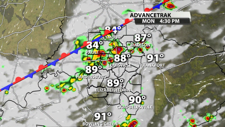
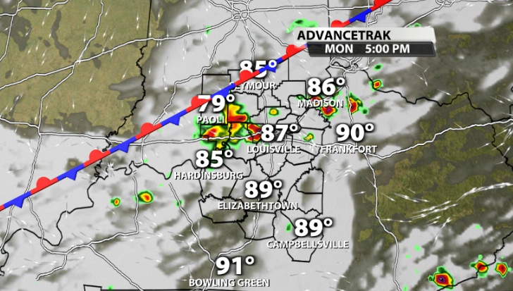
Again, not everyone sees these, in fact many will not, but if you have outdoor plans this evening, it would be smart to keep an umbrella on hand or a plan B where you can move inside while the storm moves by if you get caught under one. A rogue severe storms can't be ruled out, but most will just be regular summertime storms that pack a punch.
Tuesday
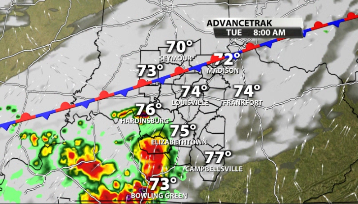
Storms to our west by early Tuesday morning will be approaching our area, but likely will be in a weakening phase as they get closer to the coolest time of the day.
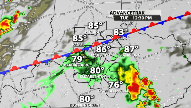
The afternoon once again comes with a smaller pop-up storm chance, although there will still be plenty of dry time on Tuesday afternoon.
Mid-Week
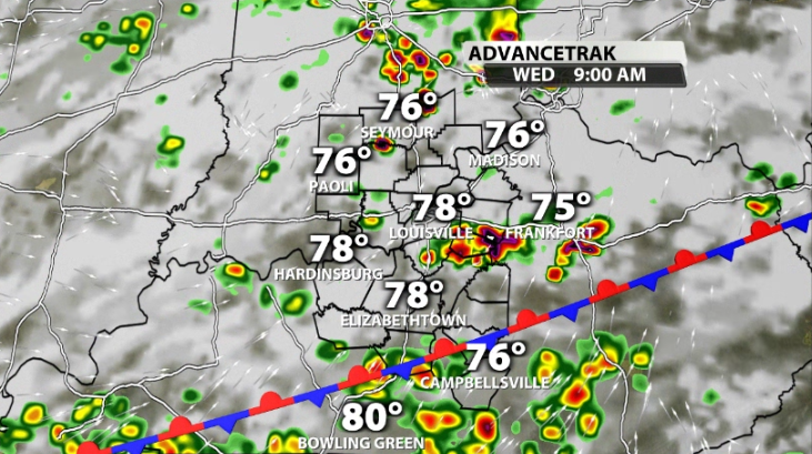
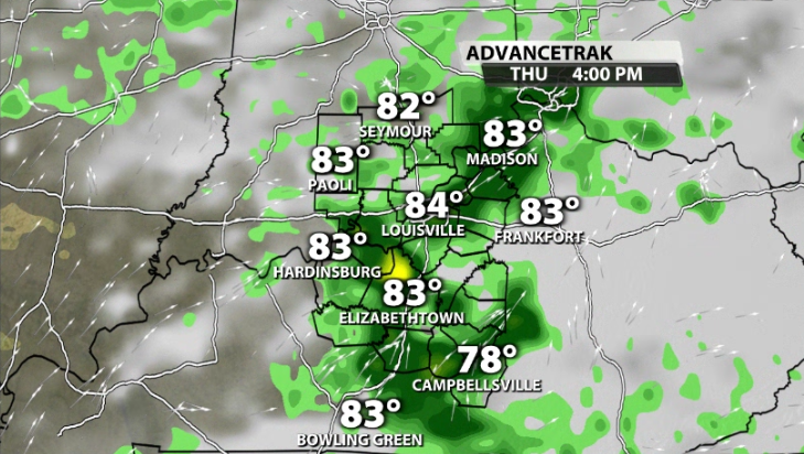
A low pressure will be rolling by our area on Wednesday and Thursday. This will help bring in a greater coverage for storms for those two days and along with it more heavy rain for more communities by the time Thursday wraps up. These could end up being more on & off storms through the day rather than hit or miss ones solely in the afternoon.


