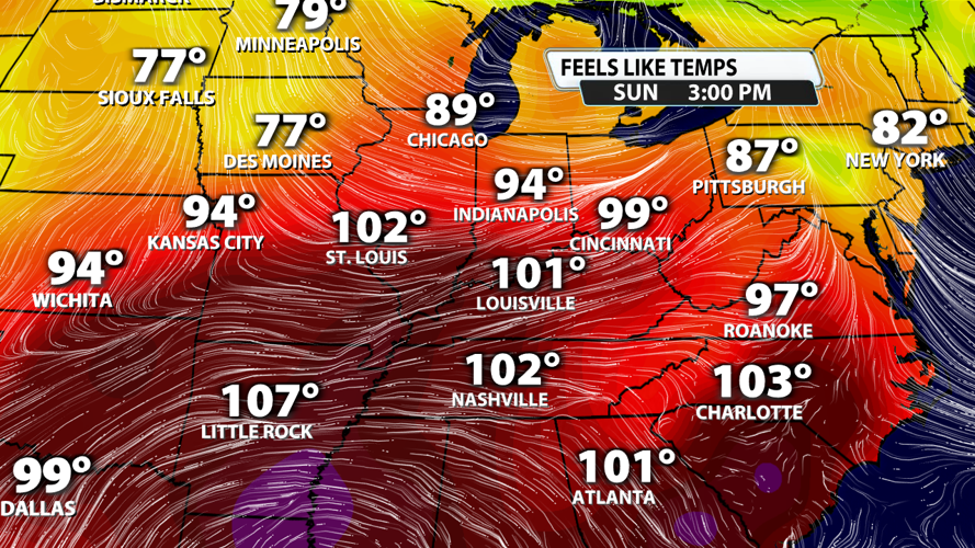
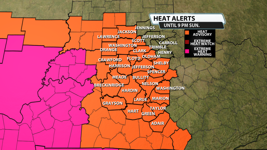


Temperatures soared on Saturday afternoon with most spots topping out in the middle and upper 90s. But actual air temps aren't what most of us think about when we describe what's going on outside. Instead, it's the "feels-like" temperatures that have everybody talking! Today felt like 100 - 110 degrees most of the afternoon and evening, and it will be about the same tomorrow. That's why the National Weather Service still has a Heat Advisory in effect until 9 PM EDT Sunday for "feels-like" temperatures up to 109 degrees.

The European model is running a little lower than what's expected on Sunday, but it gives a basic depiction of widespread heat and humidity across the Plains, the Southeast, and even parts of the Ohio and Tennessee Valleys.

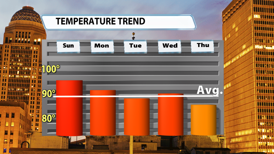
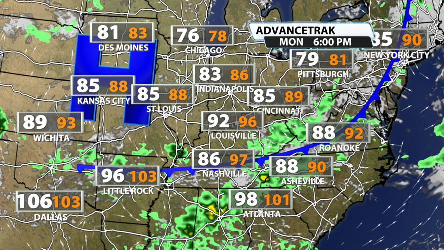
A cold front on Monday will bring relief from the heat in two ways! Our overall temperatures will be 3-5 degrees cooler Monday, but we'll sweeten up the deal with rain-cooled air from showers and storms. After that, high pressure will settle in and bring a northeasterly breeze to the region. This should keep highs in upper 80s to 90 degrees on Tuesday. While this isn't cold, it sure is better than the temperatures just a few days prior!

Tuesday's 80s will briefly rebound to the low 90s in more places on Wednesday. But those 90s should be short-lived as another cold front swings in to drop temperatures quite a bit Thursday. Rain and a cooler air mass will take us down to the middle 80s Thursday and could keep us there for a few days!