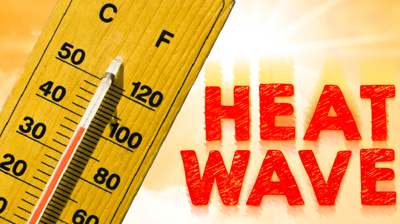
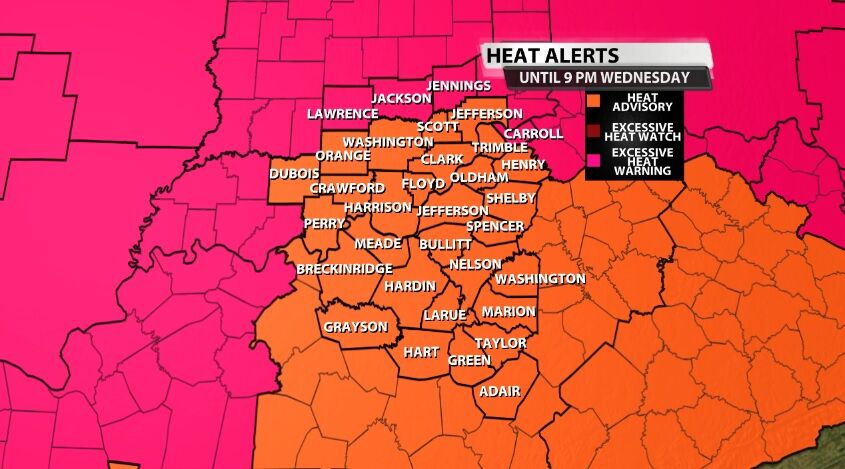
Wednesday brought another day of heat alerts for our area, and Thursday looks like it's going to be just about as hot. Wednesday brought another Heat Advisory to much of our area and still saw a few locations under an Excessive Heat Warning.
Yesterday we showed you (see post below for a reminder) that heat is the #1 cause of weather-related fatalities. Not tornadoes. Not hurricanes. Not lightning. Heat.

With this being the hottest week of the year so far, with highs in the upper 90s yesterday, …
Yes, it gets hot here every summer, but the level of heat we are dealing with this week is almost unprecedented. Let's talk about what we've seen so far and why we can make such a bold claim.

The dew point graph above and heat index one below show you what has already been measured this week. Dew points climbed into the upper 70s Monday and Tuesday, and when you combine that with the heat, our heat index values maxed out near 110º.

The humidity certainly made it worse, but the heat is really what should grab your attention. Both the high and low temperatures Monday and Tuesday broke records for how warm they are, and we are likely to do that again Wednesday (or at least get very close on the high). The asterisk below means that's the temperature that was recorded as the lowest, but the National Weather Service needs to confirm if that's the low or if we got a little cooler between observations.

Other records will be in jeopardy, too in the next week including the low temperature tomorrow (Thursday) morning, and the high temperatures Tuesday and Wednesday next week.

We can call this heat unprecedented because of all these records being broken. Louisville has never experienced this level of heat at this point in the year. Has it ever been hotter? Of course! But not in mid-June. The highest temperature ever measured in Louisville was 107º, and the highest known dew point is 83º. The one "all time" record we did come close to breaking this week was the warmest low. The warmest low temperature measured in Louisville was 84º on August 19, 1936. Our low temperature Tuesday morning, June 14th, was 83º

We are not out of the woods yet. A cold front will bring a brief break from the heat wave. We are expecting highs in the 80s and lows in the 60s this weekend, but Monday brings the heat again. There are signals that next week's heat could even climb higher than our temperatures have this week.

We will keep sharing updates to the forecast on your TV or streaming platform and here on wdrb.com.


