

We've seen a few strong storms in our area the past couple of days, but nothing that has been very widespread. Therefore, our temperatures have been warming a lot, and we even broke a high temperature record yesterday at 88.
The newest data from the last 24 hours has shown some significant shifts from what it previously indicated.
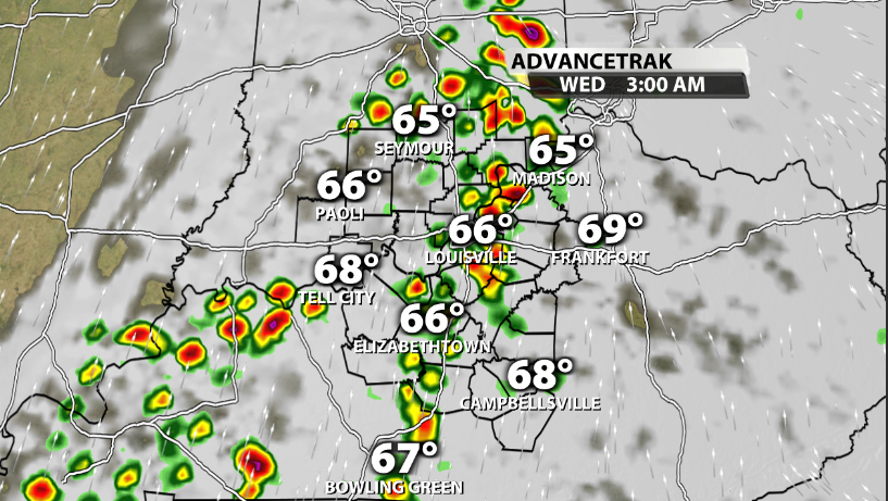
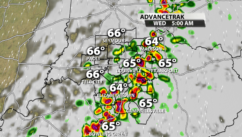
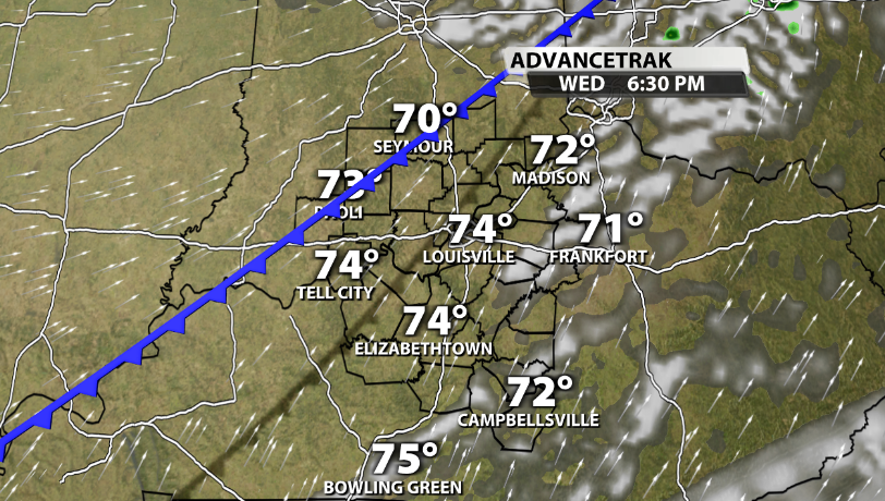
First, storms will increase across our area tonight and especially overnight. Data continues to show that these storms look fairly strong to our west but struggle to maintain strength as they move into our area tonight.
Rain starts rolling into our area as early as 8-9 pm tonight but becomes more widespread the later we go into the evening and overnight hours. Storm energy should be limited and lagged behind most of these storms until we get into tomorrow morning.
While a strong storm or two is possible, that chance is much higher to our west. Here's the SPC's severe risk for tonight:
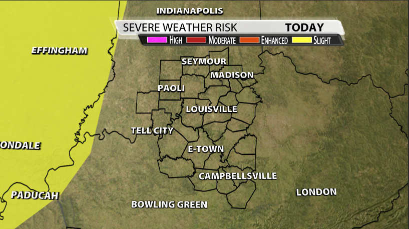
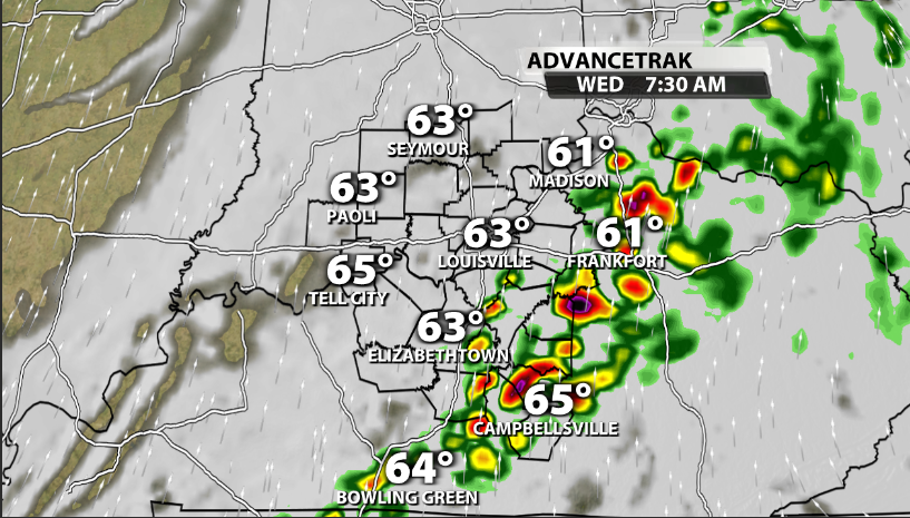
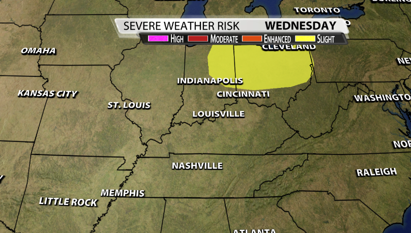
The biggest change in data since yesterday is for Wednesday. While we still have some storms in the morning, the afternoon wave has nearly been eliminated from most data. This keeps the stronger storms north of our area during the afternoon and allows us to transition to more sunshine.
The SPC's outlook for tomorrow has reflected this as the Slight risk has been shifted northward to not longer include our area for Wednesday as expected.
The last change we've seen over the last 24 hours is for Thursday. Data now has stronger storms returning to our area again on Thursday night, after peak heating of the day when we will have more storm energy available.
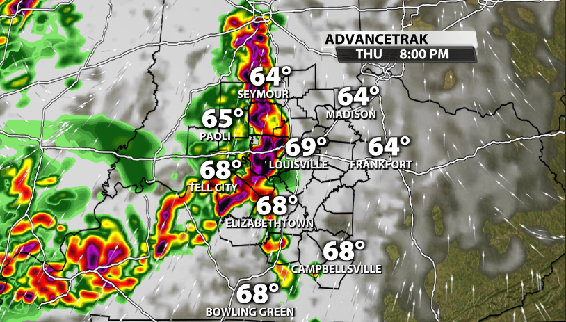
The SPC for now has our far western communities included in a Slight risk.

We'll continue to monitor for more changes and trends in data heading over the next few days.


