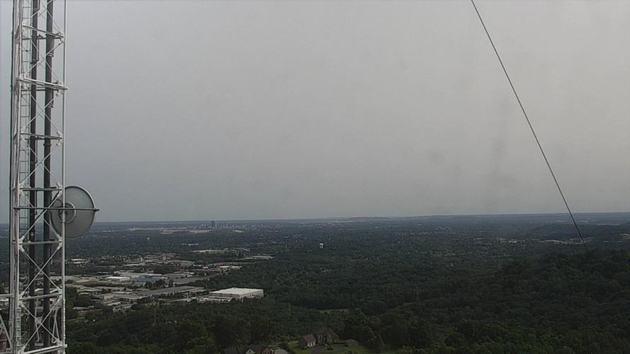
Have you notice a haze or a film over the sky today? Don't wipe off your glasses or rub your eyes; it's really there. This was the view from our tower camera in Floyds Knobs looking out over downtown Louisville. You can clearly see the city at the bottom of the image, but the top of the image looks more hazy.

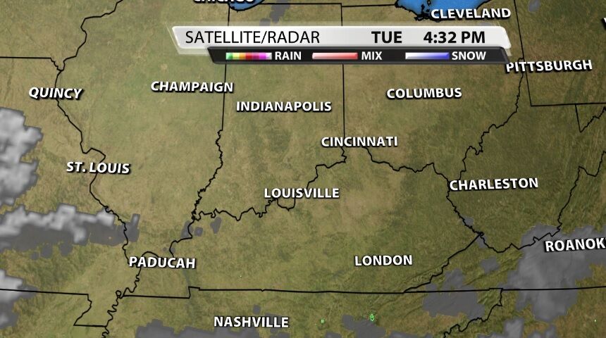
If you just look up at the sky, you might assume the gray sky is because of clouds hanging over the area. However, satellite images from that same time show basically no cloud cover in our area.
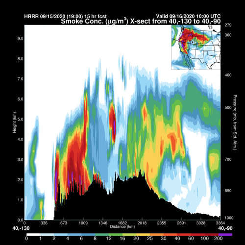
If we look higher up in the atmosphere, we find the culprit: smoke. Smoke from the massive wildfires through the west coast states is being lofted and blown into Kentuckiana. The upper-level jet stream is steering that smoke over much of the country.
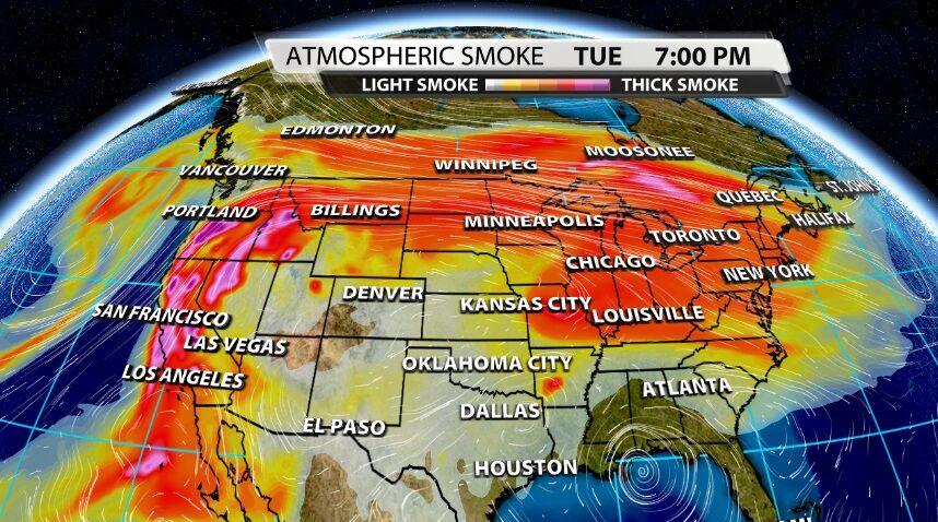
If you're concerned about air quality here, you don't really need to be. The cross section below follows the 40º latitude line through about the middle of the country. While it doesn't come all the way over to Kentuckiana, it's a good representation of what we're seeing here. It shows the highest concentrations of smoke are several kilometers up in the atmosphere, not down here at the surface.

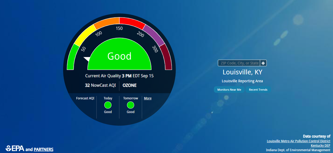
In fact, Louisville Metro Air Pollution Control District and the Environmental Protection Agency show Louisville has good air quality Tuesday and is expected to maintain good air quality through the rest of the week.

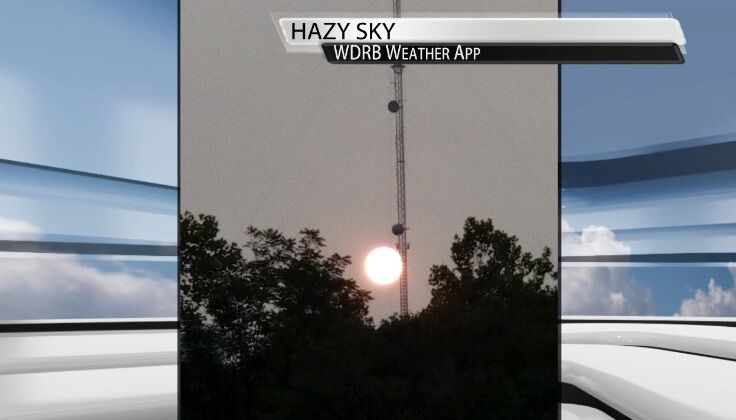
Smoke concentrations will remain elevated in the upper levels of our atmosphere for much of the week. Aside from the haze in the sky, at sunset and sunrise you will likely notice more of a red or orange tint to the sun and the sky like these pictures we've received this week. If you get a good picture of this strange sight, send it to us on social media or in the WDRB Weather app!
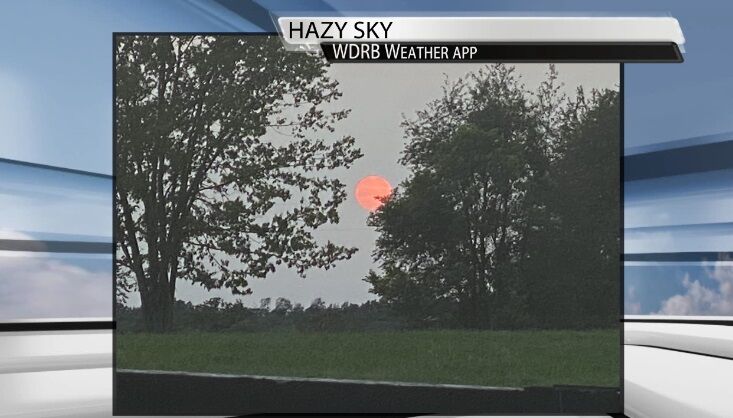
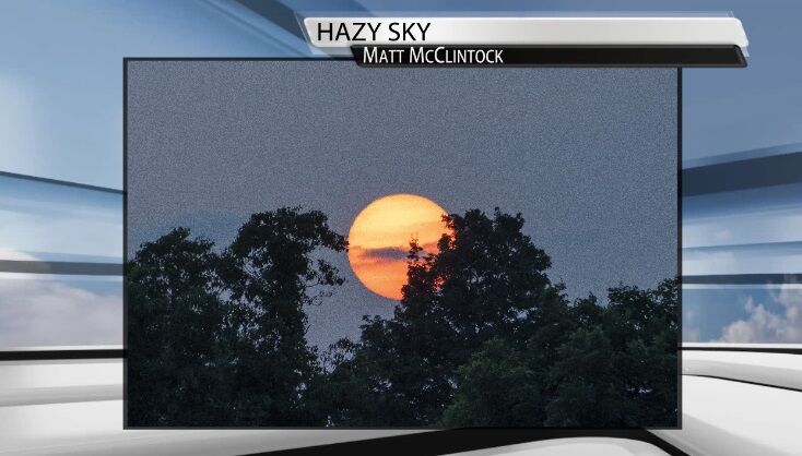
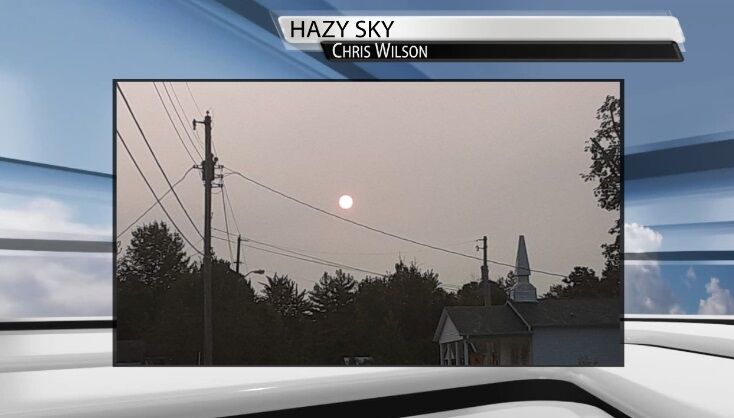
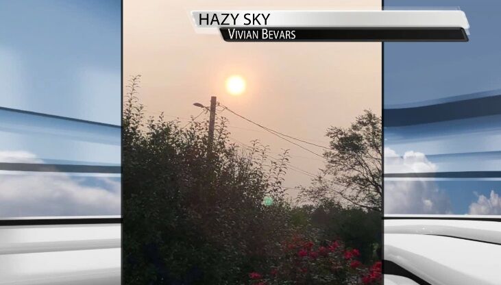
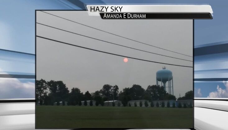
Hazy Sunsets and Sunrises
Check out these recent stories if you're looking for updates on the wildfires out west:


