
Light rain moved into our area Saturday evening with more on the way by Sunday. Overnight heavier showers will move in from the west bringing the good, soaking rain we need.
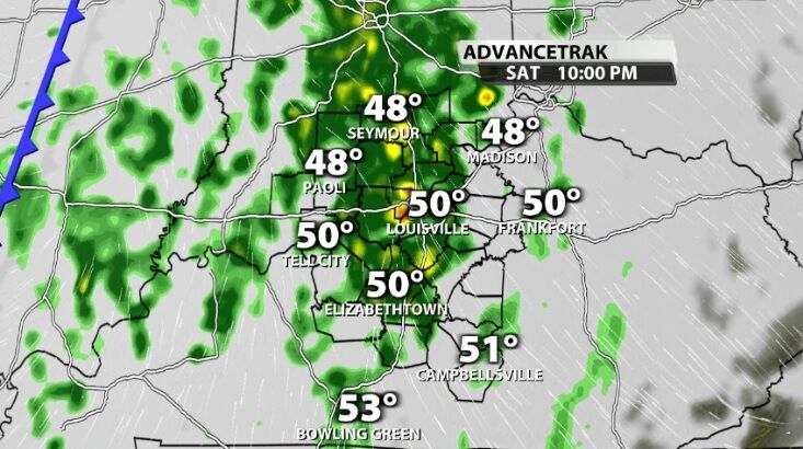
By daybreak Sunday, the heaviest rain should be east of us as an incoming cold front pushes the moisture away.
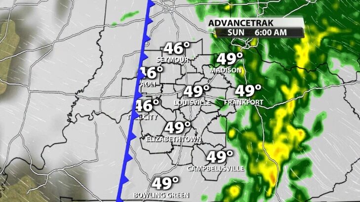
While the rain should be mainly confined to the early morning hours, a few light showers and patches of drizzle will be possible through the afternoon from the clouds that hang around into the evening.

Monday starts chilly, but a second cold front slides through quickly. This will bring stronger wind and colder air to us during the second half of the day.
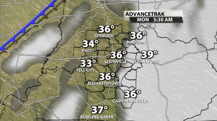
With the wind and cold air, hit and miss snow showers look likely. Think of these like pop-up summer-time showers; not everyone will get one of these showers, but it's difficult to pinpoint exactly where one will hit or miss. These do look most likely in our northern and eastern locations Monday afternoon.
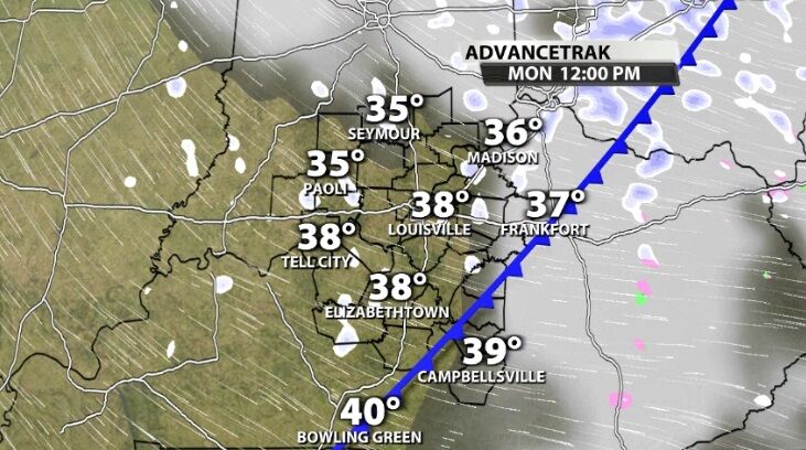
Since we've been so warm, any snow that falls and sticks should melt quickly. You may get a quick coating of snow, but it won't stack up to much before disappearing. At this point we are forecasting less than an inch of snow in any of our communities. Tune into WDRB News tonight at 10 to see the latest data and hear my thoughts on this evolving snow chance.


