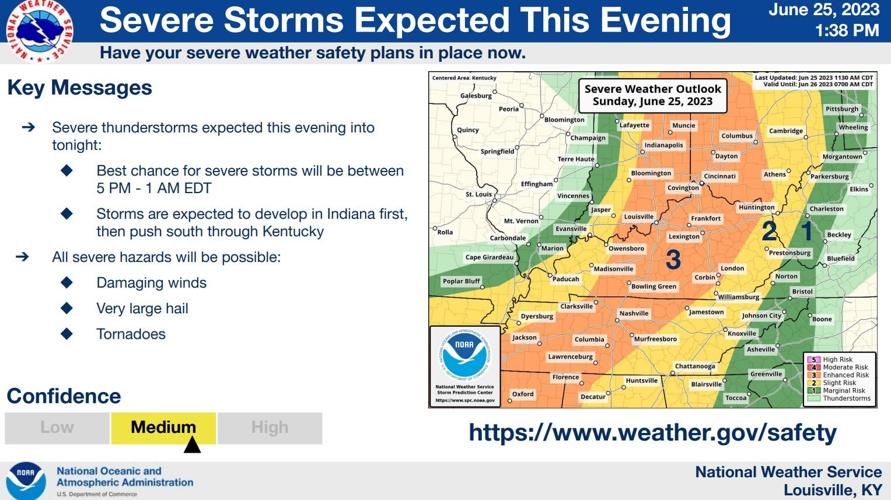
We just finished a conference call with the National Weather Service to their local partners to discuss more about the threat of severe storms tonight. Here's a summary of what we talked about in that call:

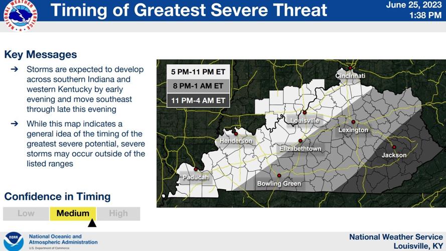
A large part of our area is included in the level 3 (Enhanced) risk of severe storms tonight - the highest risk that is in effect today. 5/6 PM - midnight/1 AM looks like the window where you need to be paying attention to the weather. We have both "storm energy" and wind shear so all threats are on the table.

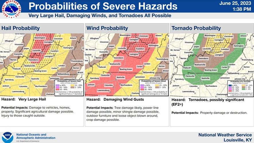
Notice all three threat graphics have a hatched (or striped) area. That's not a higher probability of the thing happening but that's a greater threat. Meaning stronger wind, larger hail, and stronger tornadoes in that hatched area than outside it. That's where the energy and wind shear are highest, generally the I-64 corridor up toward the Cincinnati area. That would be 70+ mph wind gusts, hail greater than 2" in diameter (larger than a golf ball), and longer-lived, stronger tornadoes.

Storms move northwest toward southeast and start as discrete supercells before sort of congealing into a line as this all crosses through our area.
What could prevent this from actually happening? There's a cap in place over our area that limits storm development. Places that saw heavier rain (our southwestern communities and places reaching closer to Louisville) have the best chance of that happening, but we have several hours to keep destabilizing the atmosphere.
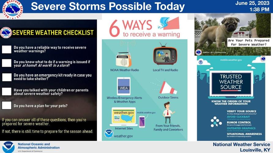
NWS does expect to issue more Tornado Watches across our area this afternoon, so make sure you have more than one way to receive weather alerts.

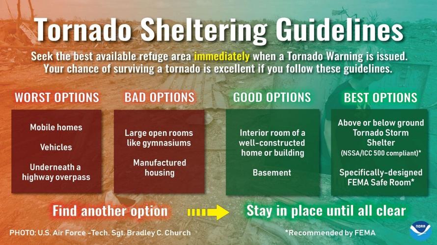
These are important notes about ways to receive warnings and what to do when one is issued for you.


