
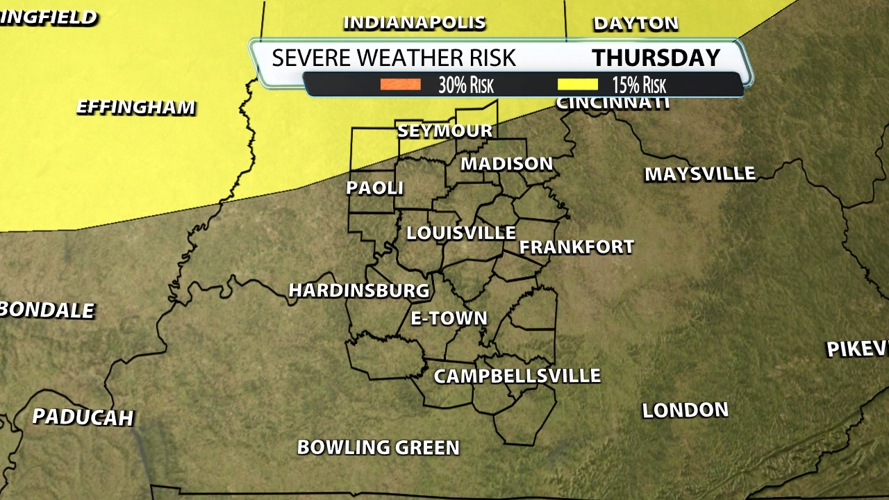
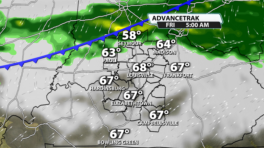

Temperature tug-of-war continues here in the Ohio Valley. After flirting with 90 on Sunday, it's much cooler for now which also helps keep it quiet. Highs in the 80's return Thursday ahead of our next cold front, so does that mean severe weather? Notice the Storm Prediction Center highlighted Bedford, Seymour and North Vernon in their 15% risk...

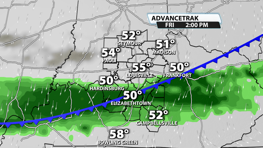
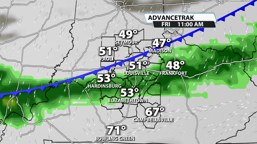
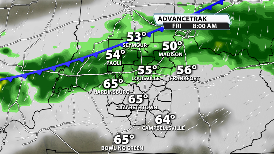
A line of storms will be moving in late Thursday night and early Friday morning. Timing is key. Despite adequate wind energy, the storms will being arriving during the most stable part of the day helping us avoid organized severe weather. As this line of weakening storms moves in, high winds and hail are possible, but that threat quickly fades from north to south. We will be watching this throughout the week.


