
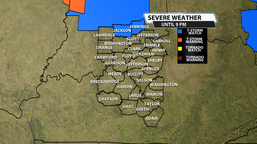


The NWS Storm Prediction Center has issued a
* Severe Thunderstorm Watch for portions of South-central Indiana
* Effective this Sunday afternoon and evening from 450 PM until 900 PM EDT.
* Primary threats include...
Isolated damaging wind gusts to 70 mph possible
SUMMARY...A cluster of storms will likely continue to progress
east-southeastward across the region with damaging winds as the
primary hazard.
The severe thunderstorm watch area is approximately along and 30
statute miles north and south of a line from 10 miles northwest of
Terre Haute IN to 45 miles east southeast of Indianapolis IN. For a
complete depiction of the watch see the associated watch outline
update (WOUS64 KWNS WOU9).
PRECAUTIONARY/PREPAREDNESS ACTIONS...
REMEMBER...A Severe Thunderstorm Watch means conditions are
favorable for severe thunderstorms in and close to the watch area.
Persons in these areas should be on the lookout for threatening
weather conditions and listen for later statements and possible
warnings. Severe thunderstorms can and occasionally do produce
tornadoes.


