A technology we take for granted now is celebrating its 60th birthday this week. Some of you who are older than that may even remember a time before weather satellites existed.

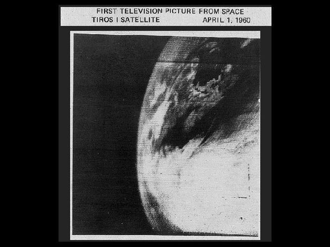
This image from NASA was taken on April 1, 1960. It was taken by TIROS-1, the first weather satellite, which only operated for 78 days. Part of the objective for TIROS-1 (which stands for Television InfraRed Observation Satellite) was "to test experimental television techniques designed to develop a worldwide meteorological satellite information system," according to NASA. It successfully completed its mission by proving that it was possible and helpful to send images like these back to Earth for use in studying and forecasting weather.

Mounted on the 270 pound satellite were two TV cameras, one low resolution and one high resolution, with a magnetic tape recorder for each to save the images they were taking (among other equipment). The image above from NASA is actually an image of TIROS-2, which was launched after TIROS-1 went out of operation to try some experimental equipment and techniques now that the general idea had been proven.

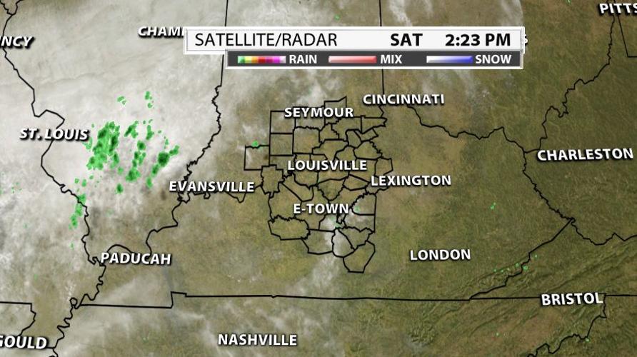
Here's an example of how far weather satellites have come in just sixty years. We can now analyze satellite data to see where individual thunderstorms are starting to pop up! In the first image at the top of the page, it's almost hard to pick out where the clouds end. Now we can see individual thunderstorms from more than 20,000 miles away in geosynchronous orbit.


