
While, on the surface, the forecast looks quiet this week, there's a lot going on in the atmosphere that lead to minor changes here each day.
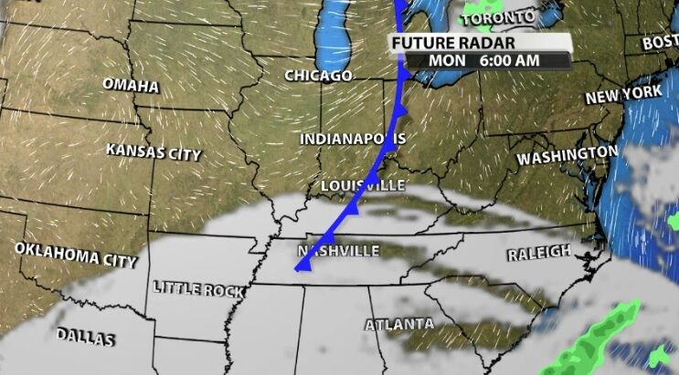
First up is a cold front Monday. This is a fairly weak front that stays a little too far north to bring bigger impacts to our area. This won't bring us rain, though you may notice some extra clouds in the sky Monday. This cold front will change the direction the wind is flowing in from, which is what all cold fronts do. That wind shift will allow slightly cooler air in for a short amount of time, so your temperatures Tuesday will be a couple degrees below what they were Monday.
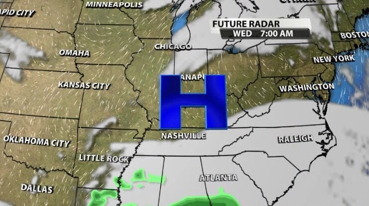
After that quick temperature dip, a high pressure center slides across our region toward the middle of the week. That will bring some additional sunshine Wednesday and to the start of the day Thursday. That sunshine and the (again) changing wind direction will allow temperatures to climb Wednesday and Thursday.
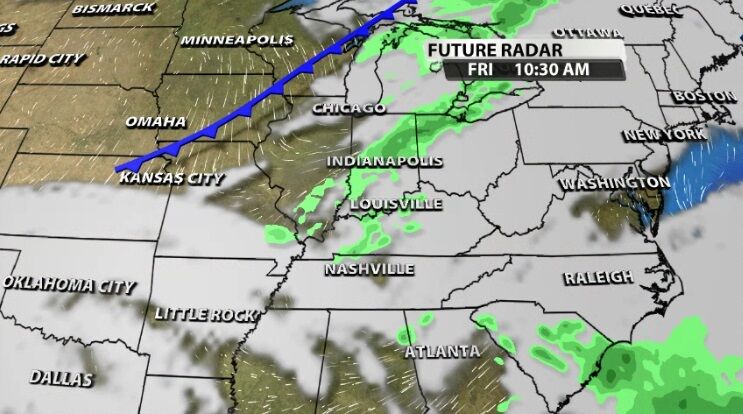
Friday our next cold front starts to make an impact. The wind should pick up a bit as this one passes through, and this cold front brings our best rain chance of the week. This cold front will also bring a bigger temperature change, with high temperatures dropping about 10º instead of 5º. You can check the 7-day forecast here to see what these ups and downs look like in daily temperatures.


