Think back to exactly five years ago today...do you remember the weather? Here are some pictures to scroll through to help spark your memory!
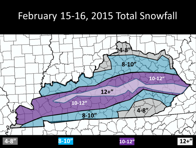
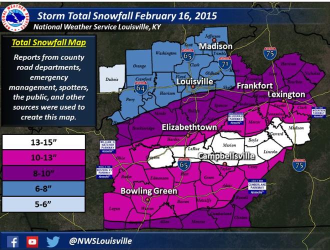
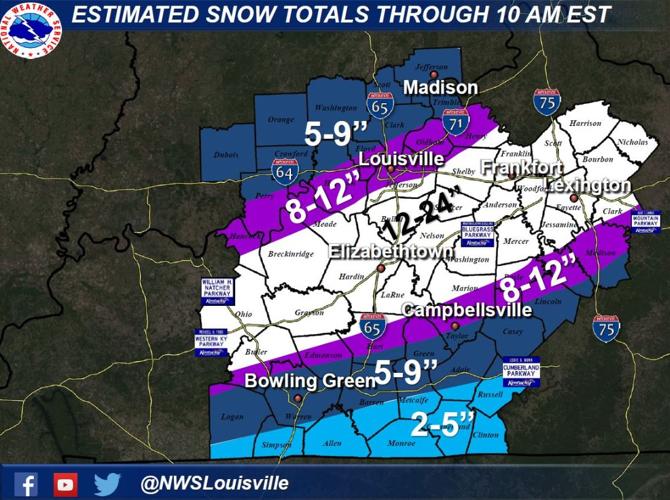
February 16, 2015 Snow Storm
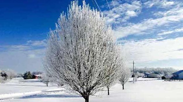
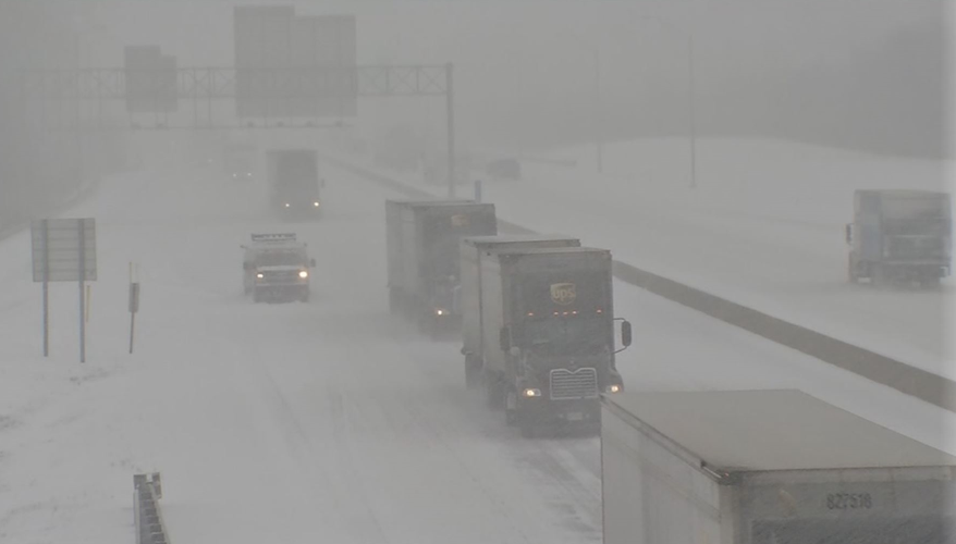
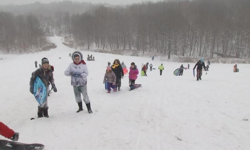
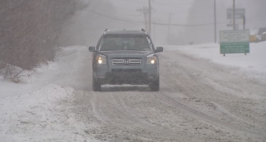
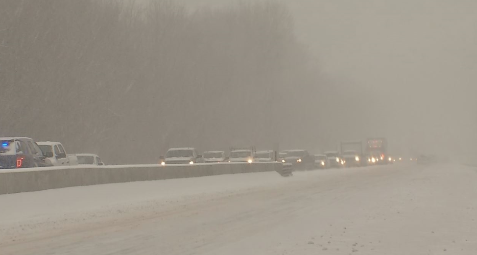
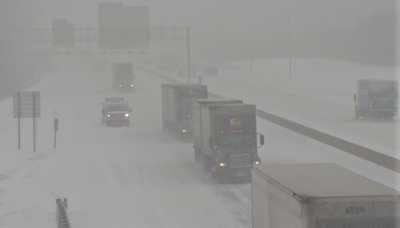
During 2015, Kentuckiana had avoided snow for most of the winter, but that all changed the week of February 16th. It starting snowing. And then kept snowing. And snowed some more. A record 8.2'' of snow fell with over a foot of snow farther south in Kentucky!


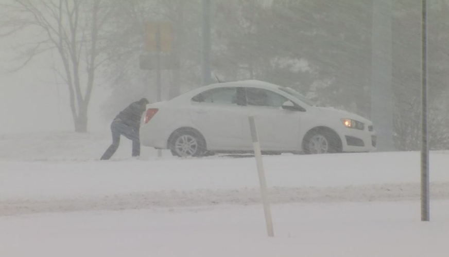
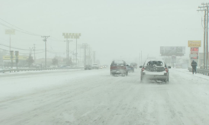
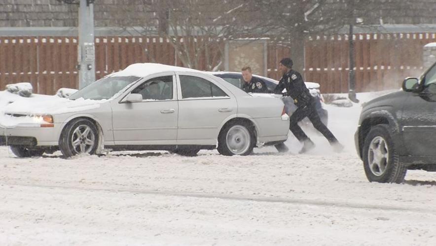
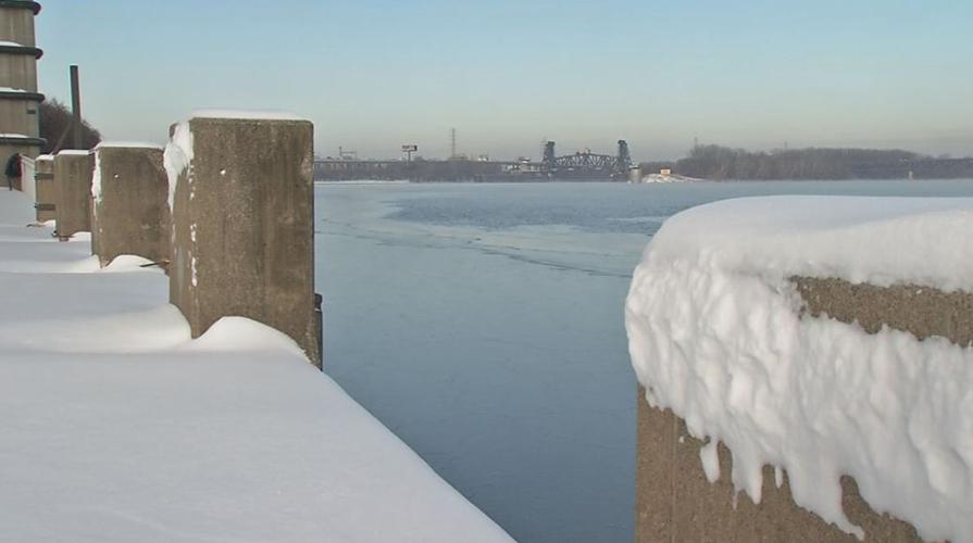
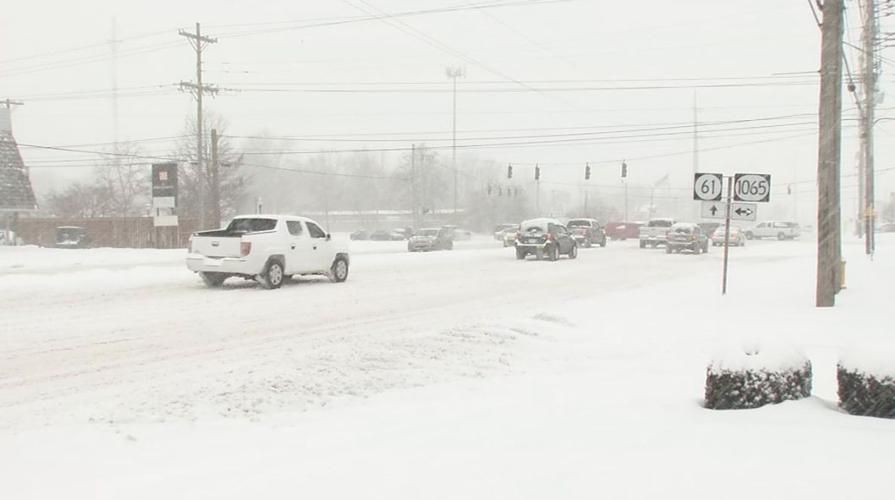
Then just two weeks later, Kentuckiana was slammed AGAIN with another record snow in early March. It hit the northern half of Kentucky particularly hard. This system came in two waves, one containing heavy rainfall which caused minor flooding of area rivers. The precipitation slowly transitioned from rain, to a brief period of sleet, to all snow beginning as early as late Wednesday morning over southern Indiana. This heavy snowfall then pushed southeast, sitting over portions of northern and central Kentucky through much of the overnight hours. Heavy banding of snowfall occurred during this timeframe, with even some unofficial reports of thundersnow. This band sitting in the same locations through the overnight hours caused some amounts in the 18-24 inch range!


