
We just finished a call with the National Weather Service office in Louisville about the transition from rain to winter weather tonight and what impacts that will cause in our area tonight and tomorrow morning. Here's a recap of our discussion:

Main impact: hazardous roads because of snow or water freezing to ice. Since this starts as rain, it's tough to pre-treat roads with brine that would prevent ice from forming.

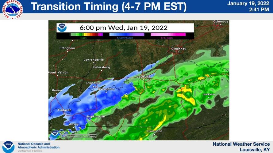
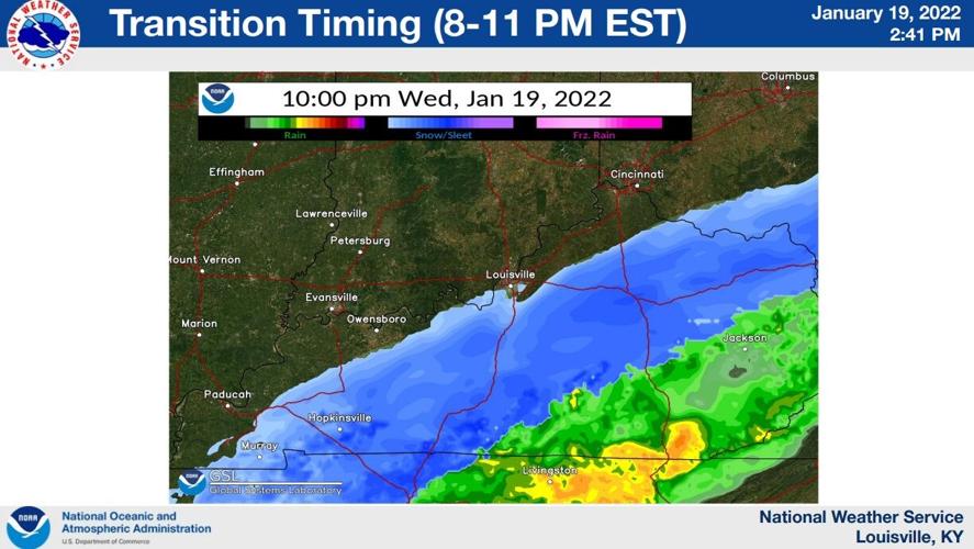
Timing:

While roads may become slick, less than 0.01" of accumulating ice is expected. This should be a fairly clean, quick transition from rain to snow this afternoon/evening. The concern about slick roads comes from snow falling as temperatures drop into the 30s and 20s on untreated roads. A cold front is passing through this afternoon that will drop temperatures quickly, creating the environment needed for rain to transition to snow.

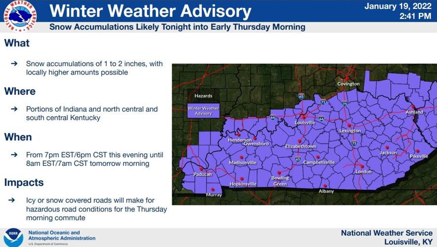
Here is the snow forecast from the National Weather Service:

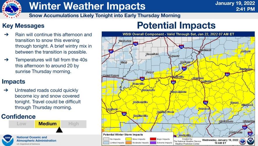
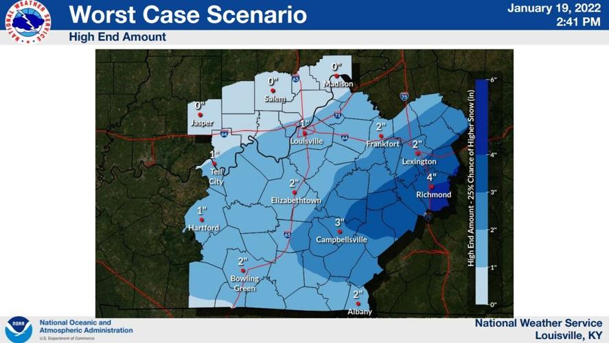
And this is their "worst case scenario" for heavier snow:

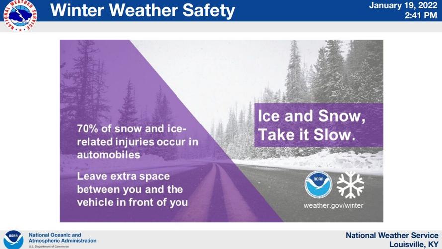
Please be aware of the impacts this weather will cause to the road. Any moisture left on the road early Thursday morning will likely freeze.


